
Former Wagnerbräu inn, zweigeschossiger Satteldachbau mit hohem Kniestock, Aufzugsluken, im Kern 18. Jahrhundert, traufseitiger Flügel angeschlossen, spätes 19. Jahrhundert
Location: Beilngries
Address: Hauptstraße 41
GPS coordinates: 49.03574,11.47248
Latest update: March 7, 2025 01:45

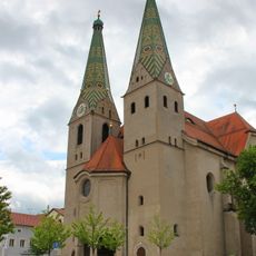
Saint Walburga
114 m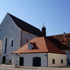
Former Franciscan Monastery
67 m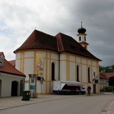
Saint Mary
103 m
Former brewery of franciscan monastery
80 m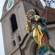
Immaculate Virgin statue
110 m
Monastery church St. Trinity
90 m
Wayside shrine
79 m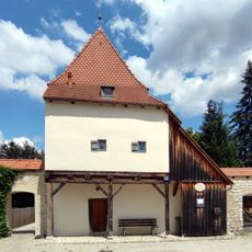
Bettelvogtturm
101 m
Bürgerturm
81 m
Small house
127 m
Residential building
64 m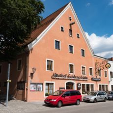
Goldener Hahn hotel ensemble
62 m
Sauhüterturm
123 m
Wasserschöpferturm
143 m
Badturm
120 m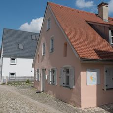
Residential building
105 m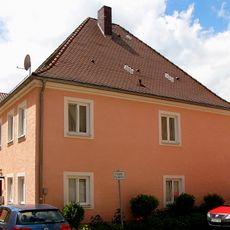
Residential building
135 m
Hauptstraße 34
74 m
Town house
45 m
Former monastery guest house
92 m
Part of city walls and remains of a defensive tower
87 m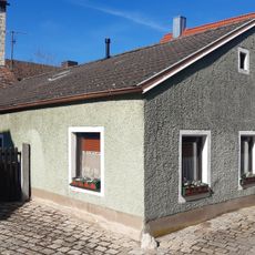
Small house
119 m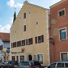
Town house ensemble
32 m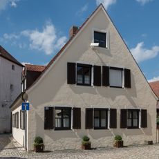
Residential building
118 m
Town house
34 m
City walls section
45 m
Former episcopal forest office
23 m
Crafter's house
50 mReviews
Visited this place? Tap the stars to rate it and share your experience / photos with the community! Try now! You can cancel it anytime.
Discover hidden gems everywhere you go!
From secret cafés to breathtaking viewpoints, skip the crowded tourist spots and find places that match your style. Our app makes it easy with voice search, smart filtering, route optimization, and insider tips from travelers worldwide. Download now for the complete mobile experience.

A unique approach to discovering new places❞
— Le Figaro
All the places worth exploring❞
— France Info
A tailor-made excursion in just a few clicks❞
— 20 Minutes