
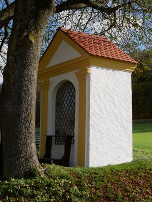
Field chapel in the Ried, kleiner Satteldachbau, Fassade mit Lisenengliederung, 19. Jahrhundert
Location: Beilngries
Address: Im Ried 92339
GPS coordinates: 49.03902,11.49639
Latest update: October 17, 2025 10:39
Arzberg
1 km
Saint Lucy
1.3 km
Fourteen Holy Helpers chapel
1.3 km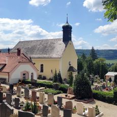
Cemetery ensemble
1.3 km
Arzberg bei Beilngries
1.1 km
Abschnitt des Ludwig-Donau-Main-Kanals #07
1.2 km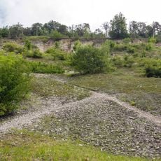
Aufgelassener Steinbruch am westlichen Arzberg
1.1 km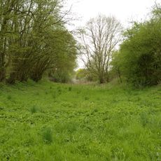
Abschnitt des Ludwig-Donau-Main-Kanals #08
1.3 km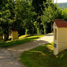
Way of the Cross
1.3 km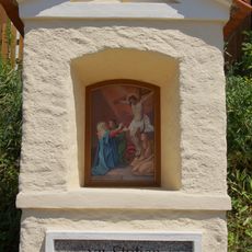
12th Station of the Cross
1.3 km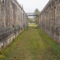
Schleuse 22 des Ludwig-Donau-Main-Kanals
947 m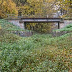
Road bridge
558 m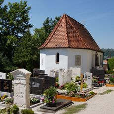
Cemetery chapel
1.3 km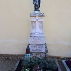
Sepulchral monument
1.3 km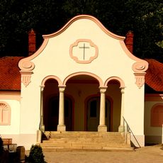
Morgue
1.2 km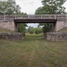
Brücke östlich der Schleuse 22
1.2 km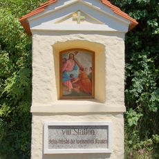
8th Station of the Cross
1.3 km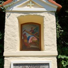
9th Station of the Cross
1.3 km
10th Station of the Cross
1.3 km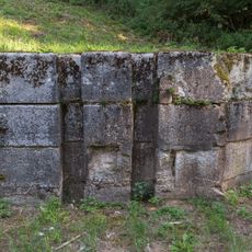
Ehemalige Kanalsperre bei Beilngries
568 m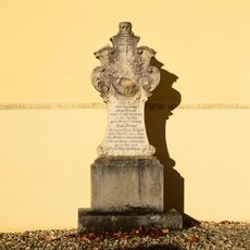
Sepulchral monument
1.3 km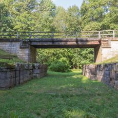
Road bridge
1.3 km
Sepulchral monument
1.3 km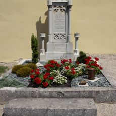
Sepulchral monument
1.3 km
Kanaldurchführung der EI21 bei Beilngries
1 km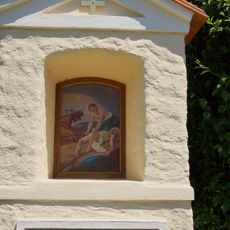
11th Station of the Cross
1.3 km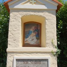
13th Station of the Cross
1.3 km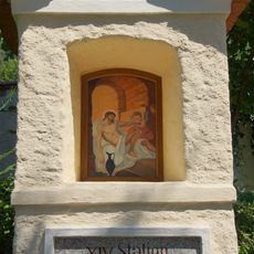
14th Station of the Cross
1.3 kmReviews
Visited this place? Tap the stars to rate it and share your experience / photos with the community! Try now! You can cancel it anytime.
Discover hidden gems everywhere you go!
From secret cafés to breathtaking viewpoints, skip the crowded tourist spots and find places that match your style. Our app makes it easy with voice search, smart filtering, route optimization, and insider tips from travelers worldwide. Download now for the complete mobile experience.

A unique approach to discovering new places❞
— Le Figaro
All the places worth exploring❞
— France Info
A tailor-made excursion in just a few clicks❞
— 20 Minutes