
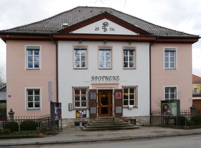
Pharmacy, freistehender zweigeschossiger Walmdachbau, dreiachsiger Mittelrisalit mit Dreiecksgiebel, um 1830, bezeichnet mit dem Jahr 1806;
Location: Beilngries
Address: Ringstraße 15
GPS coordinates: 49.03429,11.47140
Latest update: September 25, 2025 17:25
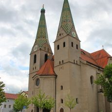
Saint Walburga
155 m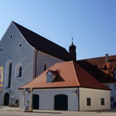
Former Franciscan Monastery
176 m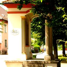
Pietà chapel
42 m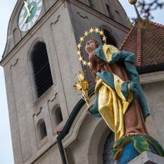
Immaculate Virgin statue
189 m
Monastery church St. Trinity
177 m
Wayside shrine
152 m
Ensemble former tax office
204 m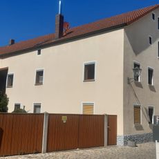
Residential building
189 m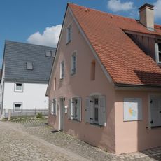
Residential building
75 m
Stadtbefestigung
178 m
Sauhüterturm
74 m
Wasserschöpferturm
37 m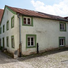
Residential building
97 m
Strohbauernturm
44 m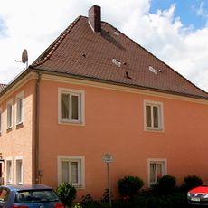
Residential building
119 m
Former monastery guest house
178 m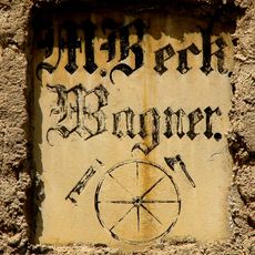
Inscription table
95 m
Residential building
79 m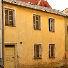
Residential building
156 m
Part of city walls and remains of a defensive tower
109 m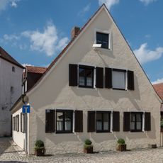
Residential building
68 m
Former Wagnerbräu inn
180 m
Former chaplain's house
147 m
Small house
59 m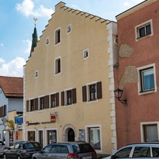
Town house ensemble
186 m
City walls section
175 m
Crafter's house
151 m
Former episcopal forest office
182 mVisited this place? Tap the stars to rate it and share your experience / photos with the community! Try now! You can cancel it anytime.
Discover hidden gems everywhere you go!
From secret cafés to breathtaking viewpoints, skip the crowded tourist spots and find places that match your style. Our app makes it easy with voice search, smart filtering, route optimization, and insider tips from travelers worldwide. Download now for the complete mobile experience.

A unique approach to discovering new places❞
— Le Figaro
All the places worth exploring❞
— France Info
A tailor-made excursion in just a few clicks❞
— 20 Minutes