
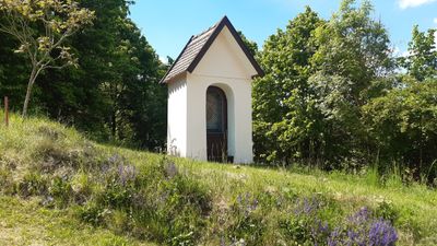
Kapellenbildstock, building in Kinding, Upper Bavaria, Germany
Location: Kinding
Address: Mühlleite
GPS coordinates: 49.01791,11.45910
Latest update: October 17, 2025 10:40
Bürgerknechtturm, Stadtgraben 1
2 km
St. Peter und Paul
1.7 km
Mariä Opferung
197 m
Saint John's wayside shrine
1.8 km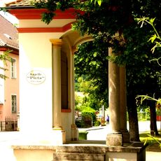
Pietà chapel
2 km
Residential building
2.1 km
Ehemalige Steinbrüche am Hirschberg W von Beilngries
2 km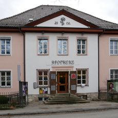
Pharmacy
2 km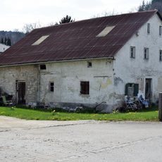
Bauernhaus
867 m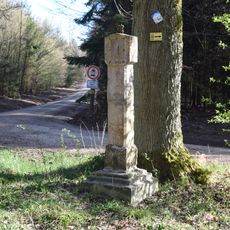
Wayside shrine
970 m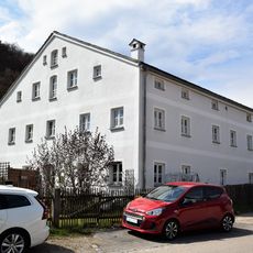
Badanhausen Fischerstraße
1.1 km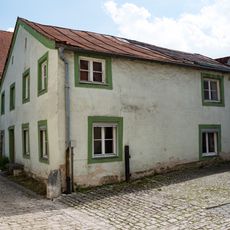
Residential building
2 km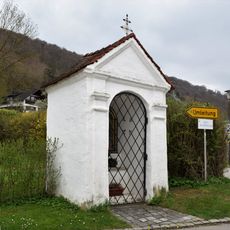
Wegkapelle
1.7 km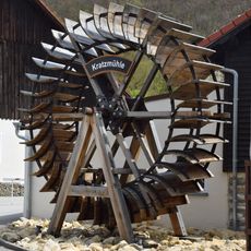
Mühlrad
1.7 km
Portal and inn's sign
1.6 km
Stallstadel
1.1 km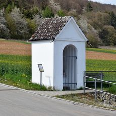
Wegkapelle
936 m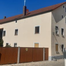
Residential building
2 km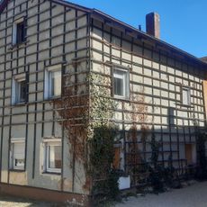
Former crafter's house
2 km
Strohbauernturm
2 km
Defensive tower of the forecourt
2.1 km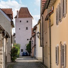
Rossturm
2 km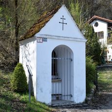
Wegkapelle
1.2 km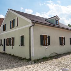
Small house
2.1 km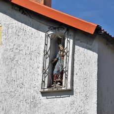
Nischenfigur
1.1 km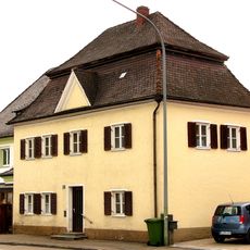
Residential building
2 km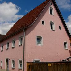
Residential building
2 km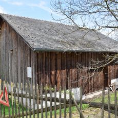
Stallstadel
1.1 kmReviews
Visited this place? Tap the stars to rate it and share your experience / photos with the community! Try now! You can cancel it anytime.
Discover hidden gems everywhere you go!
From secret cafés to breathtaking viewpoints, skip the crowded tourist spots and find places that match your style. Our app makes it easy with voice search, smart filtering, route optimization, and insider tips from travelers worldwide. Download now for the complete mobile experience.

A unique approach to discovering new places❞
— Le Figaro
All the places worth exploring❞
— France Info
A tailor-made excursion in just a few clicks❞
— 20 Minutes