
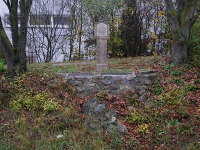
Bildstock, steinpfeiler mit Laterne und Inschrift, bezeichnet mit dem Jahr 1818;
Location: Denkendorf
Address: Alemannenstraße 27
GPS coordinates: 48.93499,11.46723
Latest update: October 17, 2025 10:40
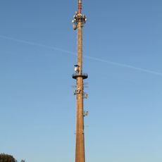
Gelbelsee transmitter
3.1 km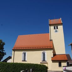
St. Martin Church
4.6 km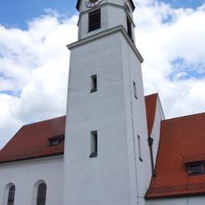
St. Wolfgang
5 km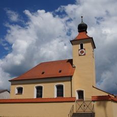
St. Georg (Bitz)
3 km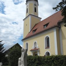
Katholische Pfarrkirche, St. Laurentius (Denkendorf)
1.1 km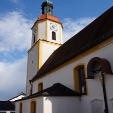
St. Hippolyt (Gelbelsee)
2.6 km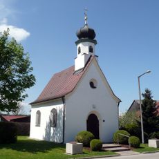
St. Sebastian
4.1 km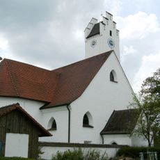
St. Blaise (ensemble)
4.5 km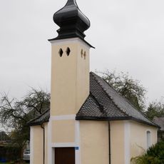
Village chapel
4 km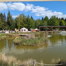
Dinopark
1.9 km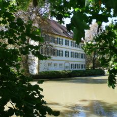
Schloss Schönbrunn
2 km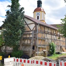
Scheune Nähe Burgstraße; Schmiedstraße 16 in Denkendorf (Oberbayern)
2.6 km
Stoffelbauer
4 km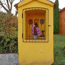
Wayside shrine
3.9 km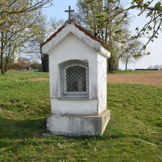
Wayside shrine
4.5 km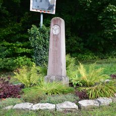
Boundary marker
4.5 km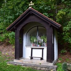
Mater Dolorosa Chapel
5 km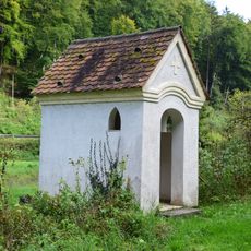
Wegkapelle Lourdesgrotte
5 km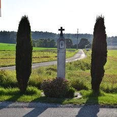
Bildstock Hl. Salvator
4.3 km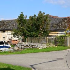
Stadel
4.6 km
Stall Römerstraße 1 in Denkendorf (Oberbayern)
2.1 km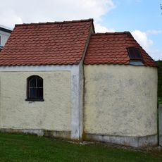
Chapel
4.8 km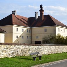
Schloss Römerstraße 1 in Denkendorf (Oberbayern)
2.1 km
Scheune
2.6 km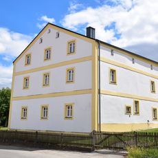
Pfarrhaus
2.6 km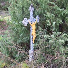
Feldkreuz
516 m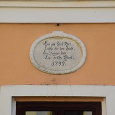
Inschriftentafel
2.1 km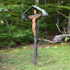
Wegkreuz
4.9 kmVisited this place? Tap the stars to rate it and share your experience / photos with the community! Try now! You can cancel it anytime.
Discover hidden gems everywhere you go!
From secret cafés to breathtaking viewpoints, skip the crowded tourist spots and find places that match your style. Our app makes it easy with voice search, smart filtering, route optimization, and insider tips from travelers worldwide. Download now for the complete mobile experience.

A unique approach to discovering new places❞
— Le Figaro
All the places worth exploring❞
— France Info
A tailor-made excursion in just a few clicks❞
— 20 Minutes