
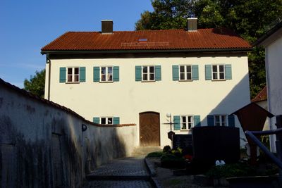
Ehemaliges Benefiziatenhaus, building in Mörnsheim, Upper Bavaria, Germany
Location: Mörnsheim
Address: Maria-End-Weg 11
GPS coordinates: 48.87140,11.02174
Latest update: March 3, 2025 14:26
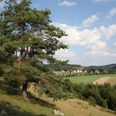
Juratrockenhang mit der Felsgruppe "Zwölf Apostel"
2.5 km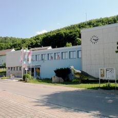
Bürgermeister-Müller-Museum
3.1 km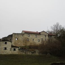
Burg Mörnsheim
1.3 km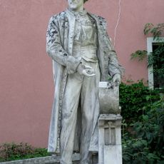
Statue of Alois Senefelder in Solnhofen
3.3 km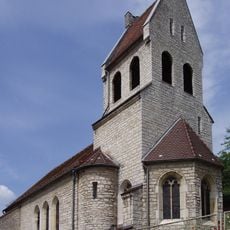
St. Sola
3.1 km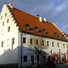
Kastenhof
1.2 km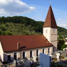
St. Anna (Mörnsheim)
1.2 km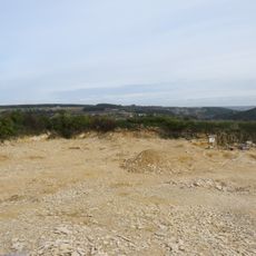
Fossilien-Besuchersteinbruch Mühlheim
3.2 km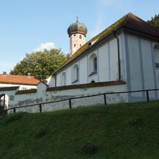
Wallfahrtskirche Maria End
26 m
Kriegerdenkmal in der Art eines Hünengrabs
3.1 km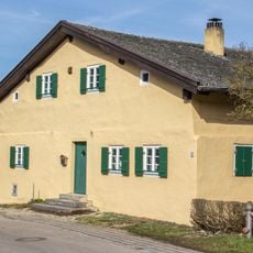
Hofanlage Eßlingen 4
1.9 km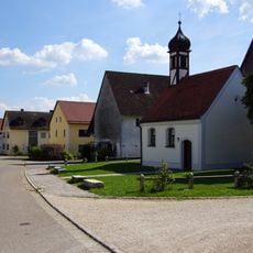
Kostbares Blut Christi
2.2 km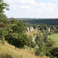
Felsengruppe "Zwölf Apostel" N von Eßlingen
2.3 km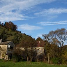
Ehemalige Kronmühle
2.1 km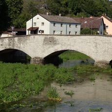
Dreijochige Bogenbrücke
2.5 km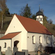
Sankt Cyriakus, Largus und Smaragdus (Mühlheim, Mörnsheim)
2.4 km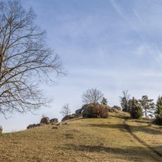
Teufelskanzel
2.5 km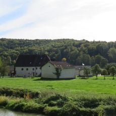
Hammermühle
773 m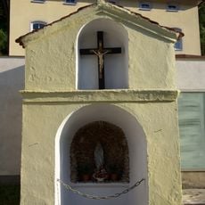
Kapellenbildstock
1 km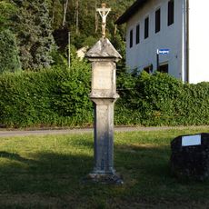
Bildstock
806 m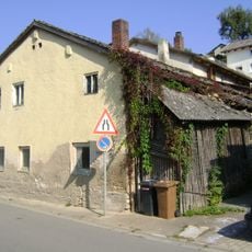
Kleinhaus
3.2 km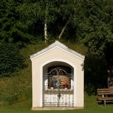
Kapellennische
746 m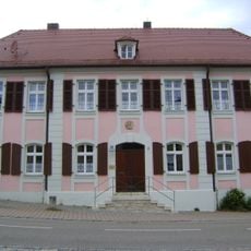
Ehemaliges ansbachisches Amtshaus, ab 1809 Pfarrhaus
3.3 km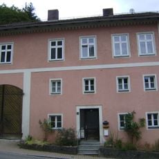
Wohnhaus
3.3 km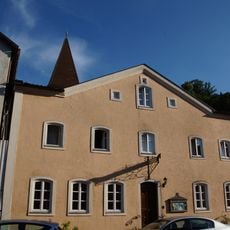
Ehemaliges Gasthaus
1.1 km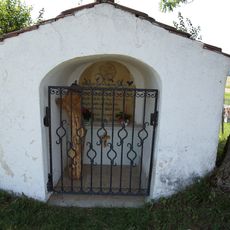
Kapellenbildstock
2 km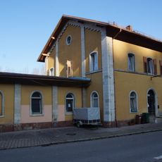
Station building at Solnhofen station
3 km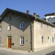
Wohnhaus
3.2 kmVisited this place? Tap the stars to rate it and share your experience / photos with the community! Try now! You can cancel it anytime.
Discover hidden gems everywhere you go!
From secret cafés to breathtaking viewpoints, skip the crowded tourist spots and find places that match your style. Our app makes it easy with voice search, smart filtering, route optimization, and insider tips from travelers worldwide. Download now for the complete mobile experience.

A unique approach to discovering new places❞
— Le Figaro
All the places worth exploring❞
— France Info
A tailor-made excursion in just a few clicks❞
— 20 Minutes