
Wohnteil eines Bauernhauses, building in Waldkraiburg, Upper Bavaria, Germany
Location: Waldkraiburg
Address: Rausching 70
GPS coordinates: 48.20820,12.44601
Latest update: July 14, 2025 11:08
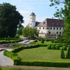
Schloss Guttenburg
2.1 km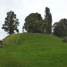
Burgstall Kraiburg
3.4 km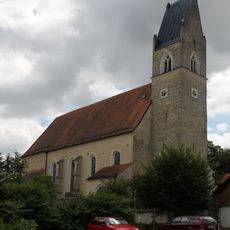
Church of the Ascension of Mary
1.6 km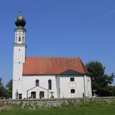
St. Maximilian
3.6 km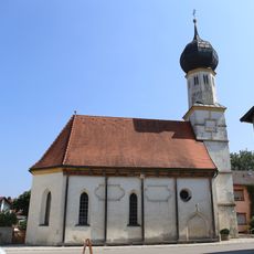
St. Nikolaus und Sebastian
3 km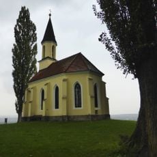
Gelöbniskapelle
3.3 km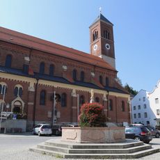
St. Bartholomäus
3.2 km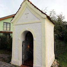
Wegkapelle Krautgartenweg
3.8 km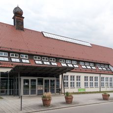
Zentraler Bereich des ehemaligen Frauenlagers
1.2 km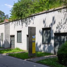
Bunker 29
3.7 km
Saint Erasmus Church
3.3 km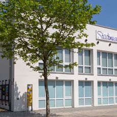
Stadtmuseum Waldkraiburg
3 km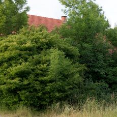
Hütte eines ehemaligen Dreiseithofs
2.2 km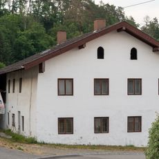
Ehemaliges Wohnstallhaus
2.2 km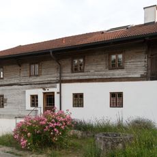
Mitterstallhaus
2 km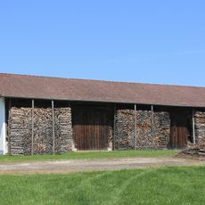
Stadel Maximilian 2
3.6 km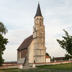
St. Martin
2.1 km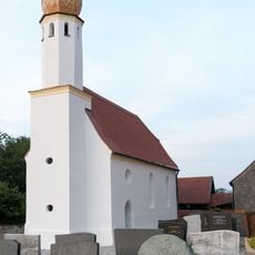
St. Michael
1.6 km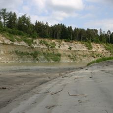
Prallhang des Inns NE von Heisting
3.4 km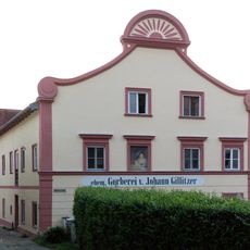
Stattliches Wohnhaus
3.1 km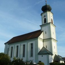
St. Johannes der Täufer
4.5 km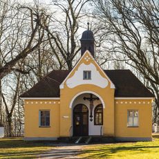
Aussegnungshalle Ecksberg 1 in Mühldorf am Inn
4.7 km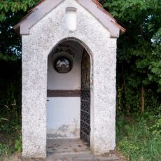
Feldkapelle
731 m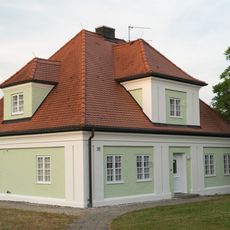
Ehemaliges Pfarrhaus
2.1 km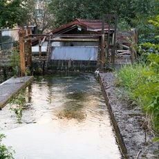
Mittermühlbach
3.2 km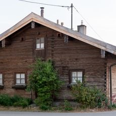
Kleinbauernhaus
1.7 km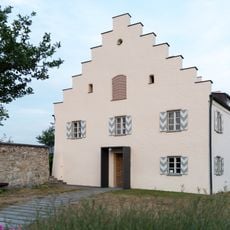
Pfarrhof
1.7 km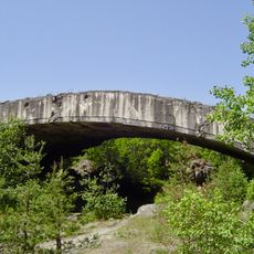
Ehemaliges Rüstungswerk im Mühldorfer Hart
3.6 kmReviews
Visited this place? Tap the stars to rate it and share your experience / photos with the community! Try now! You can cancel it anytime.
Discover hidden gems everywhere you go!
From secret cafés to breathtaking viewpoints, skip the crowded tourist spots and find places that match your style. Our app makes it easy with voice search, smart filtering, route optimization, and insider tips from travelers worldwide. Download now for the complete mobile experience.

A unique approach to discovering new places❞
— Le Figaro
All the places worth exploring❞
— France Info
A tailor-made excursion in just a few clicks❞
— 20 Minutes