
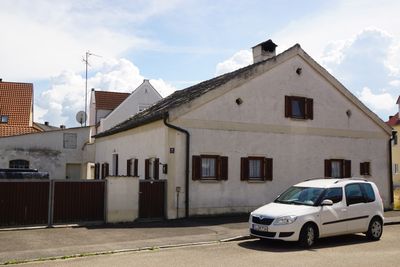
Ehemaliger Bauernhof, wohnhaus erdgeschossig, mit Kalkplattendach und Putzbandgliederung, Ende 18./Anfang 19. Jahrhundert
Location: Pförring
Address: Kelsstraße 15
GPS coordinates: 48.80912,11.68632
Latest update: March 7, 2025 12:01
Castrum Celeusum
1.1 km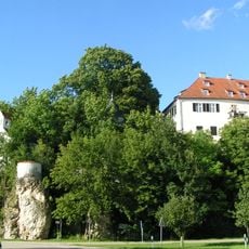
Schloss Wackerstein
2.8 km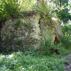
Burgruine Ettling
2.2 km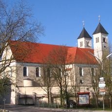
Sankt Leonhard
282 m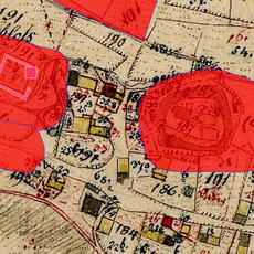
Cultural heritage D-1-7135-0183 in Pförring
2.1 km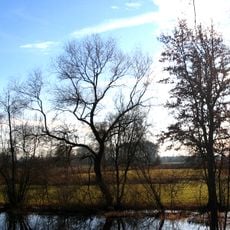
Goldau
4.1 km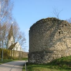
Burg Marching
2.6 km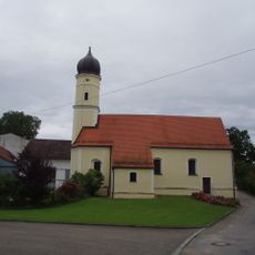
St. Maria Magdalena
4.7 km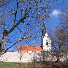
Unsere Liebe Frau
2.6 km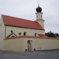
St. Peter und Paul (Mindelstetten)
4.4 km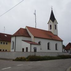
St. Gertraud
4.3 km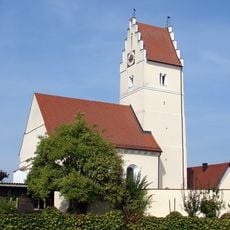
St. Margaretha
1.9 km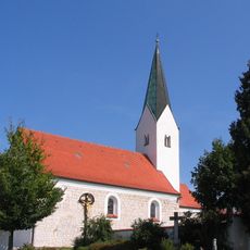
Katholische Kirche St. Georg
4.4 km
St. Sebastian
281 m
Katholische Filialkirche Mariae Himmelfahrt
4.1 km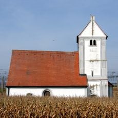
St. Stephan
1.9 km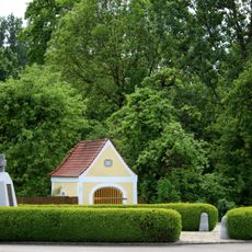
Kapelle
1.9 km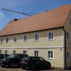
Bauernhaus
34 m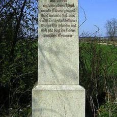
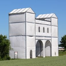
Kastell Pförring
986 m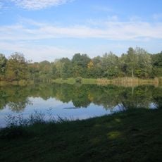
Donauauen zwischen Ingolstadt und Weltenburg
3.2 km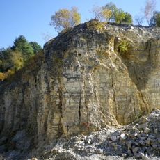
Ehemaliger Steinbruch W von Ettling
2.2 km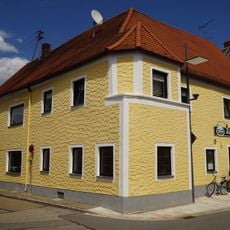
Gasthaus
197 m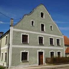
Bauernhof
100 m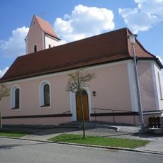
Katholische Kapelle St. Maria
4.3 km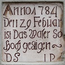
Inschrifttafel
296 m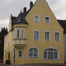
Wohn- und Geschäftshaus
141 m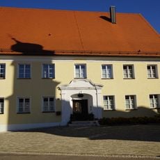
Pfarrhaus
295 m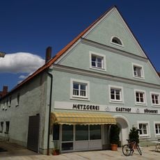
Gasthof
226 mReviews
Visited this place? Tap the stars to rate it and share your experience / photos with the community! Try now! You can cancel it anytime.
Discover hidden gems everywhere you go!
From secret cafés to breathtaking viewpoints, skip the crowded tourist spots and find places that match your style. Our app makes it easy with voice search, smart filtering, route optimization, and insider tips from travelers worldwide. Download now for the complete mobile experience.

A unique approach to discovering new places❞
— Le Figaro
All the places worth exploring❞
— France Info
A tailor-made excursion in just a few clicks❞
— 20 Minutes