
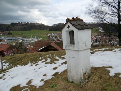
Kreuzwegstationen, drittes Viertel 19. Jahrhundert
Location: Ronsberg
Address: Am Weg vom Ort zum Friedhof
GPS coordinates: 47.89673,10.41140
Latest update: March 3, 2025 07:01
St. Ulrich
3.8 km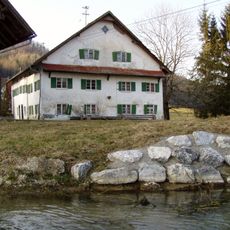
Schloßmühle Liebenthann
2.9 km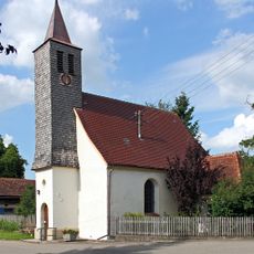
Kapelle Wineden
3.9 km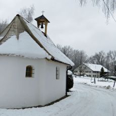
Kapelle Stein
1.4 km
Chapel (Engetried)
3.2 km
Saint John the Baptist Church
2.9 km
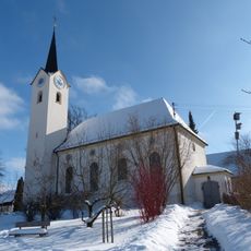
Katholische Pfarrkirche Mariä Himmelfahrt
182 m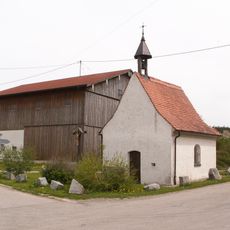
Katholische Kapelle St. Franziskus v. Assisi
2 km
Katholische Marienkapelle
3.7 km
Katholische Kapelle St. Wendelin
1 km
Weilerkapelle
3.8 km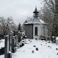
Ehemalige Burgkapelle
210 m
Weilerkapelle
3.2 km
Katholische Kapelle Vierzehn Nothelfer
2.6 km
Katholische Kapelle St. Wendelin
1.3 km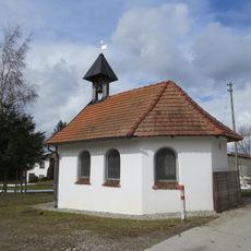
Katholische Kapelle St. Joseph und Maria
3.4 km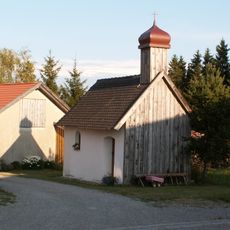
Katholische Kapelle Hl. Dreifaltigkeit
2.1 km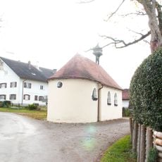
Katholische Kapelle Hl. Dreifaltigkeit
2.6 km
Günzhangwälder Markt Rettenbach - Obergünzburg
621 m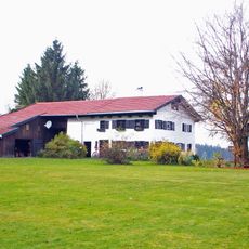
Einzelhof
2 km
Mühle
286 m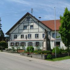
Gasthof
3.7 km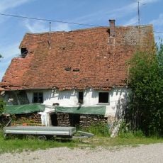
Ehemalige Mühle
3.9 km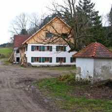
Katholische Marienkapelle
2.4 km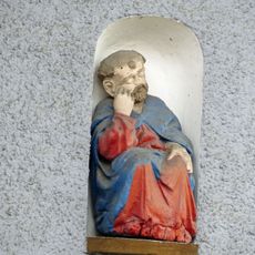
Hausfigur
183 m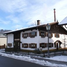
Kleinhaus
346 m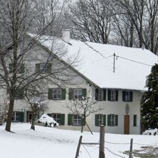
Bauernhaus
1.5 km
Ehemaliges Amtsdienerhaus
173 mVisited this place? Tap the stars to rate it and share your experience / photos with the community! Try now! You can cancel it anytime.
Discover hidden gems everywhere you go!
From secret cafés to breathtaking viewpoints, skip the crowded tourist spots and find places that match your style. Our app makes it easy with voice search, smart filtering, route optimization, and insider tips from travelers worldwide. Download now for the complete mobile experience.

A unique approach to discovering new places❞
— Le Figaro
All the places worth exploring❞
— France Info
A tailor-made excursion in just a few clicks❞
— 20 Minutes