
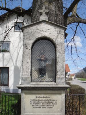
Friedensdenkmal, nischenbau, Ende 19. Jahrhundert; am nördlichen Ortsende
Location: Ruderatshofen
Address: Kriegerdenkmal
GPS coordinates: 47.84171,10.59423
Latest update: March 14, 2025 00:51
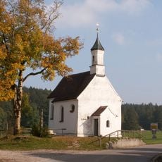
Rosinakapelle
3.2 km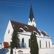
St. Jakobus (Ruderatshofen)
2.6 km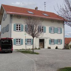
Rectory (Apfeltrang)
311 m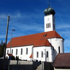
St. Georg
3.5 km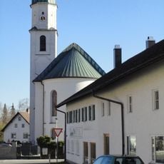
St. Dionysius
3.3 km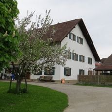
Bauernhof "Kapeller"
2.2 km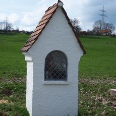
Kapellen-Bildstock
2.6 km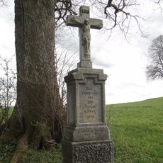
Pestfriedhof Apfeltrang
696 m
Hauptstraße 12
2.5 km
Hauptstraße 4
3.4 km
Ehemaliges Brauereigasthaus Höfelmayr
2.6 km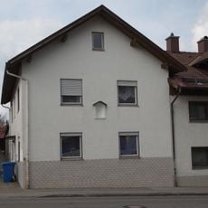
Hausfigur
3.3 km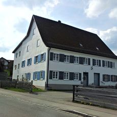
Salzstraße 16
3.2 km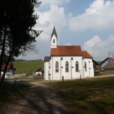
St Wendelin
3.5 km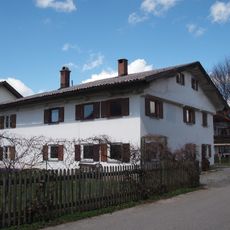
Bauernhaus
3.5 km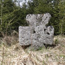
Steinkreuz
1.7 km
Bürgermeister-Andreas-Müller-Straße 11
2.4 km
Apfeltranger Dorfstraße 44
261 m
Bauernhaus
3.2 km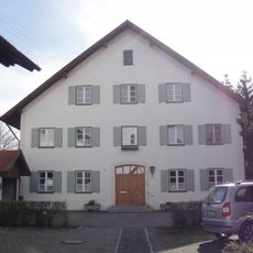
Pfarrhaus
2.6 km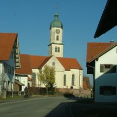
St. Michael
302 m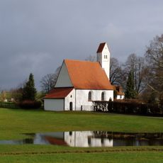
St. Walburga
3.4 km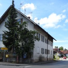
Schule
2.6 km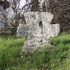
Steinkreuz
3.5 km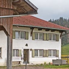
Bauernhaus
3.2 km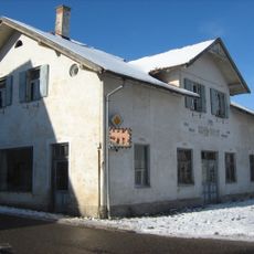
Tiroler Straße 4
3.5 km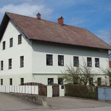
Ehemaliges Schloss
3.5 km
Gedenkstein
3.4 kmReviews
Visited this place? Tap the stars to rate it and share your experience / photos with the community! Try now! You can cancel it anytime.
Discover hidden gems everywhere you go!
From secret cafés to breathtaking viewpoints, skip the crowded tourist spots and find places that match your style. Our app makes it easy with voice search, smart filtering, route optimization, and insider tips from travelers worldwide. Download now for the complete mobile experience.

A unique approach to discovering new places❞
— Le Figaro
All the places worth exploring❞
— France Info
A tailor-made excursion in just a few clicks❞
— 20 Minutes