
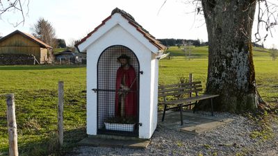
Bildstock, 18./19. Jahrhundert; mit Ausstattung
Location: Aitrang
Address: Westlich der Thingauer Straße, 200 m südlich des Ortes
GPS coordinates: 47.81522,10.53343
Latest update: October 17, 2025 10:40
St. Alban
2.3 km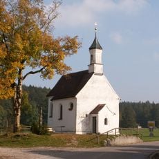
Rosinakapelle
2.8 km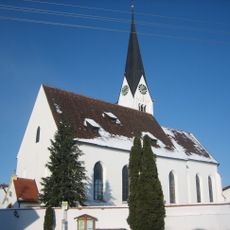
St. Jakobus (Ruderatshofen)
4.2 km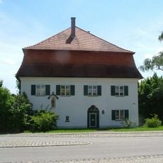
Pfarrhaus
328 m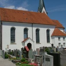
Sankt Ulrich (Aitrang)
339 m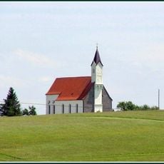
Katholische Wallfahrtskirche
2 km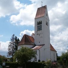
St. Johannes Baptist
3.5 km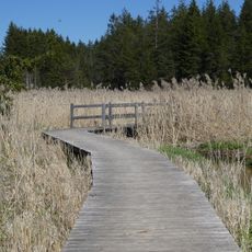
Gebiet um den Elbsee, Gde. Aitrang
3 km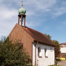
Kapelle Heilige Dreifaltigkeit
2 km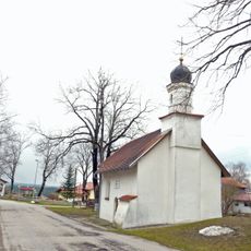
Katholische Kapelle Sankt Magnus
3.7 km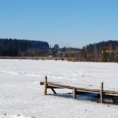
Elbsee
2.5 km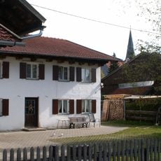
Bauernhaus
224 m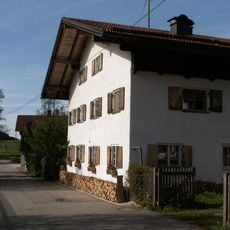
Bauernhaus
274 m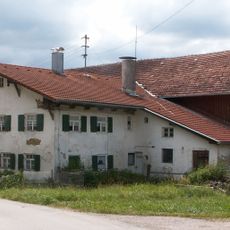
Bauernhaus
2.1 km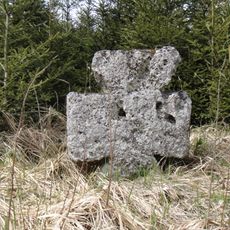
Steinkreuz
3.9 km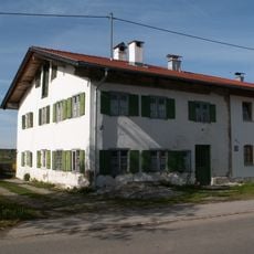
Bauernhaus
432 m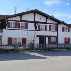
Ehemaliges Kleinbauernhaus
4.1 km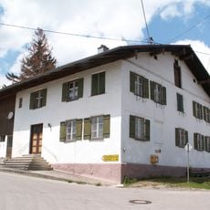
Ehemaliger Pfarrhof
3.5 km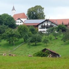
Bauernhaus
2.1 km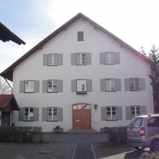
Pfarrhaus
4.1 km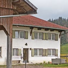
Bauernhaus
2.8 km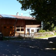
Kleinhaus
3.4 km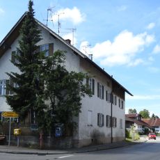
Schule
4.1 km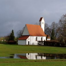
St. Walburga
4.1 km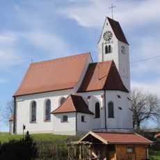
St. Nikolaus
4 km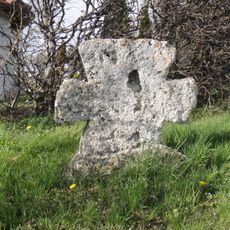
Steinkreuz
4.1 km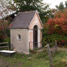
Wayside shrine
3.3 km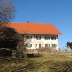
Mesnerhof von St. Alban
2.3 kmVisited this place? Tap the stars to rate it and share your experience / photos with the community! Try now! You can cancel it anytime.
Discover hidden gems everywhere you go!
From secret cafés to breathtaking viewpoints, skip the crowded tourist spots and find places that match your style. Our app makes it easy with voice search, smart filtering, route optimization, and insider tips from travelers worldwide. Download now for the complete mobile experience.

A unique approach to discovering new places❞
— Le Figaro
All the places worth exploring❞
— France Info
A tailor-made excursion in just a few clicks❞
— 20 Minutes