
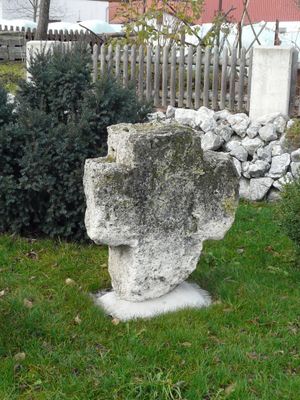
Steinkreuz, spätmittelalterlich; am Südende des Ortes
Location: Baisweil
Address: an der Abzweigung nach Warmisried
GPS coordinates: 47.96442,10.53518
Latest update: March 2, 2025 23:12
St. Rasso
3.7 km
Hl. Kümmernis
3.6 km
St. Ulrich (Warmisried)
2.3 km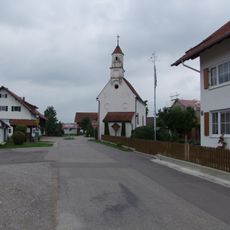
St. Wolfgang
4.7 km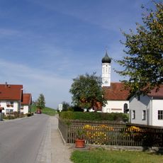
St. Maria (Helchenried)
3.8 km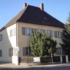
Rectory (Baisweil)
2.3 km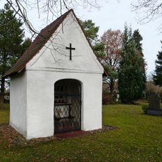
Friedhofskapelle
991 m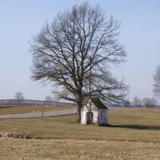
Feldkapelle
3.6 km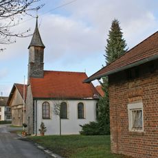
Katholische Kapelle St. Joachim
3.8 km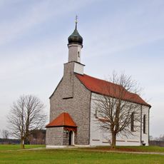
Heilig Kreuz
2.5 km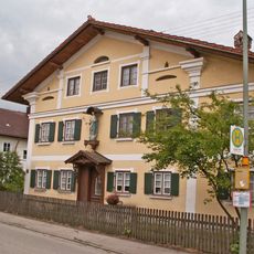
Bauernhaus
2.3 km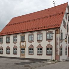
Ehemalige Tafernwirtschaft
4.7 km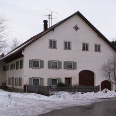
Bauernhaus
2.2 km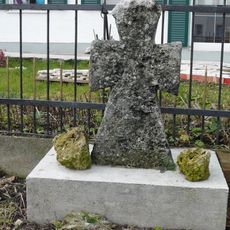
Steinkreuz
2.3 km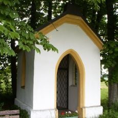
Wayside shrine St. Joseph
3.9 km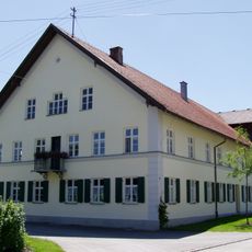
Bauernhof
4.8 km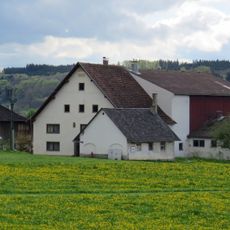
Bauernhaus
3.1 km
Hausfigur
2.3 km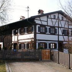
Bauernhaus
4.7 km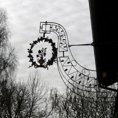
Ausleger
2.2 km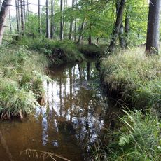
Obere Mindel
4.5 km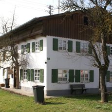
Bauernhaus
4.5 km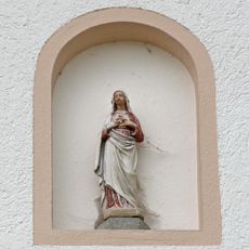
Immaculata
4.8 km
Mausohrkolonien im Ost- und Unterallgäu
3.2 km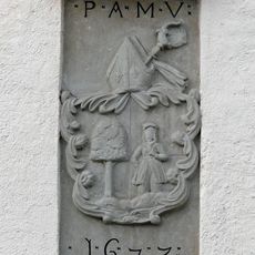
Pfarrhaus
189 m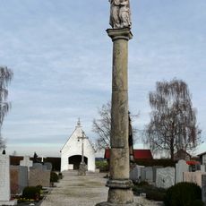
Säule
2.2 km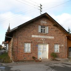
Ehem. Käserei
3.8 km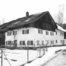
Bauernhaus
2.1 kmReviews
Visited this place? Tap the stars to rate it and share your experience / photos with the community! Try now! You can cancel it anytime.
Discover hidden gems everywhere you go!
From secret cafés to breathtaking viewpoints, skip the crowded tourist spots and find places that match your style. Our app makes it easy with voice search, smart filtering, route optimization, and insider tips from travelers worldwide. Download now for the complete mobile experience.

A unique approach to discovering new places❞
— Le Figaro
All the places worth exploring❞
— France Info
A tailor-made excursion in just a few clicks❞
— 20 Minutes