
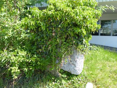
Steinkreuz, tuffstein, wohl spätmittelalterlich; an der Straße nach Dietershofen
Location: Oberschönegg
Address: Hauptstraße
GPS coordinates: 48.10684,10.30465
Latest update: March 13, 2025 08:33
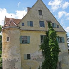
Schloss Frickenhausen
3.9 km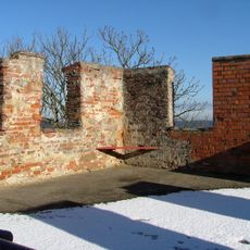
Burgruine Altenschönegg
642 m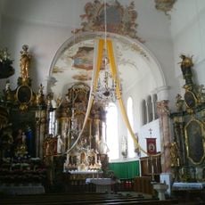
Kloster Klosterbeuren
3.8 km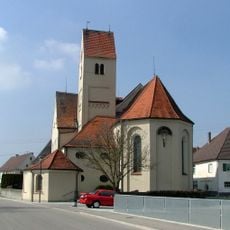
St. Ursus
3.8 km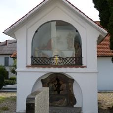
Ölbergkapelle
3.6 km
Saint Vitus Parish Church
3.8 km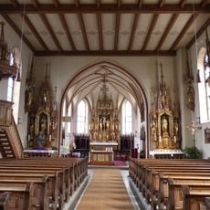
St. Bartholomäus (Egg an der Günz)
2.6 km
Pfarrkirche St. Ulrich
1.1 km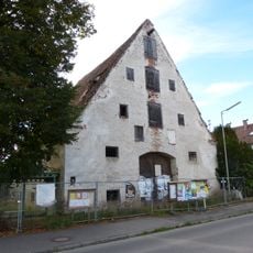
Ehemaliger Zehentstadel
2.4 km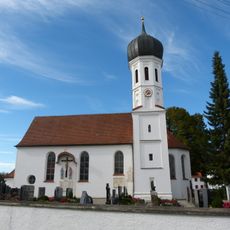
St. Sebastian
2.4 km
St. Rochus
2.6 km
Friedhofskapelle
3.8 km
St. Joseph
1.2 km
Kreuzkapelle
1.9 km
St. Philomena
1.8 km
Kapelle
3.1 km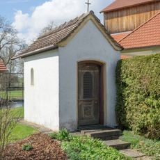
Kapelle
3.3 km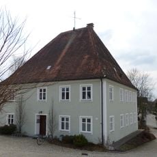
Rectory (Egg an der Günz)
2.7 km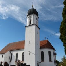
St. Laurentius und Vitus
3.6 km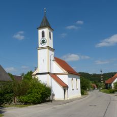
Hl. Schutzengel (Greimeltshofen)
3.7 km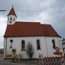
St. Leonhard (Oberschönegg)
355 m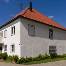
Kirchstraße 18
3.8 km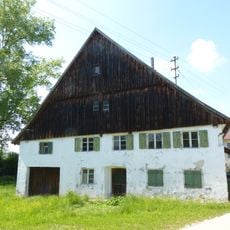
Ehemalige Obere Mühle
882 m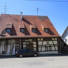
Ehemaliger Zehntstadel
3.9 km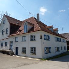
Untere Mühle
897 m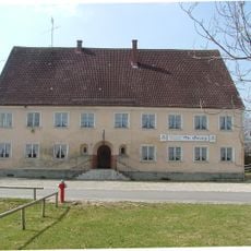
Ehemalige Klosterwirtschaft, jetzt Gasthof
3.9 km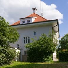
Pfarrhaus
3.9 km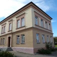
Ehemalige Schule
2.4 kmReviews
Visited this place? Tap the stars to rate it and share your experience / photos with the community! Try now! You can cancel it anytime.
Discover hidden gems everywhere you go!
From secret cafés to breathtaking viewpoints, skip the crowded tourist spots and find places that match your style. Our app makes it easy with voice search, smart filtering, route optimization, and insider tips from travelers worldwide. Download now for the complete mobile experience.

A unique approach to discovering new places❞
— Le Figaro
All the places worth exploring❞
— France Info
A tailor-made excursion in just a few clicks❞
— 20 Minutes