
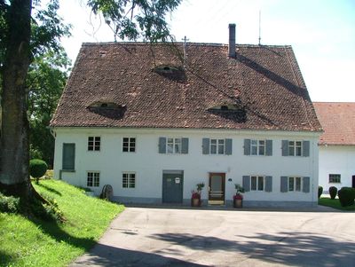
Ehemalige Mühle, zweigeschossiger Satteldachbau mit Giebelgesimsen und Fledermausgauben, wohl um 1800
Location: Sontheim
Address: Mühlenweg 12
GPS coordinates: 47.99636,10.33487
Latest update: March 5, 2025 07:01
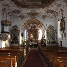
St. Martin
1.9 km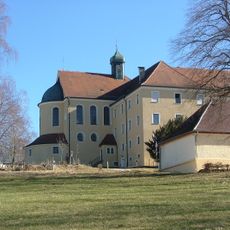
Benediktinerinnenkloster Klosterwald
3.7 km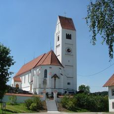
St. Andreas
430 m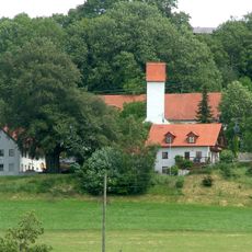
St. Stephan (Stephansried)
2.8 km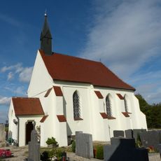
Heilig-Kreuz-Kapelle (Unterwesterheim)
4.4 km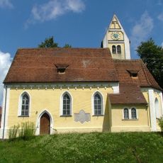
St. Stephan
3.4 km
St. Gordianus and Epimachus
2.9 km
Gasthaus zum Adler
2.9 km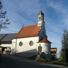
St. Joseph (Dennenberg)
3.6 km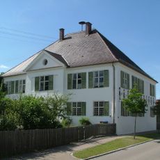
Rectory (Attenhausen)
530 m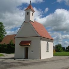
St. Leonhard (Eggisried)
4.2 km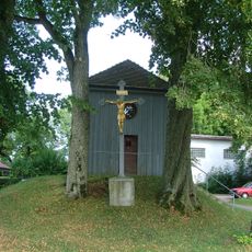
St. Joseph
776 m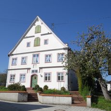
Rectory
2.9 km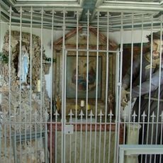
Kapelle am Kapellenweg
4.3 km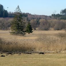
Hundsmoor
3.1 km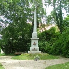
Kneippdenkmal Stephansried
2.7 km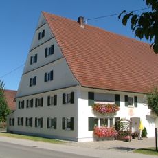
Bauernhaus
1.9 km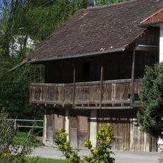
Wohnhaus
3.2 km
Bauernhaus
565 m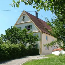
Wohnhaus
449 m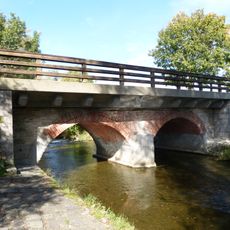
Brücke
4.2 km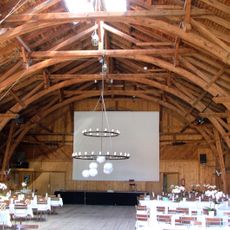
Ehemalige Dampfsägehalle
1.8 km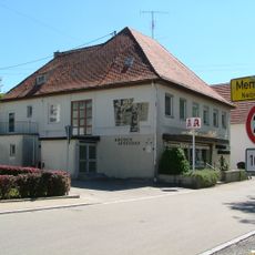
Schlößlestraße 9
4.5 km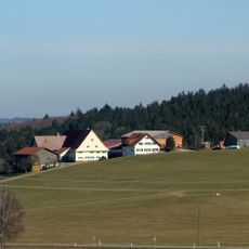
Bauernhaus
4.2 km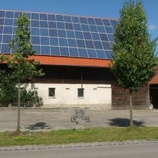
Steinkreuz
629 m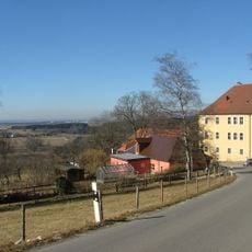
Ehemaliges Benediktinerinnenkloster St. Anna
3.7 km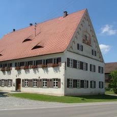
Ehemaliger Gasthof
1.9 km
Westliche Günz und Hundsmoor
3.4 kmVisited this place? Tap the stars to rate it and share your experience / photos with the community! Try now! You can cancel it anytime.
Discover hidden gems everywhere you go!
From secret cafés to breathtaking viewpoints, skip the crowded tourist spots and find places that match your style. Our app makes it easy with voice search, smart filtering, route optimization, and insider tips from travelers worldwide. Download now for the complete mobile experience.

A unique approach to discovering new places❞
— Le Figaro
All the places worth exploring❞
— France Info
A tailor-made excursion in just a few clicks❞
— 20 Minutes