
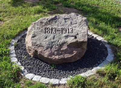
Gedenkstein, cultural heritage monument D-6-71-152-15 (0) in Schöllkrippen, Bavaria
Location: Schöllkrippen
Address: Vormwalder Straße, Ecke Schmerhohle
GPS coordinates: 50.08143,9.25370
Latest update: March 14, 2025 08:32
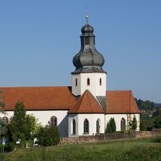
Pfarrkirche
592 m
Altenburg
1.4 km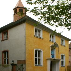
Kloster Reuschberg
1.4 km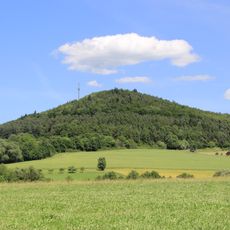
Reuschberg
1.4 km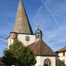
Pfarrkirche
671 m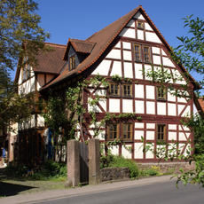
Wohnstallhaus
1.2 km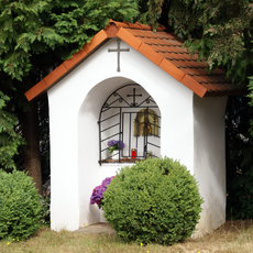
Bildstock
821 m
Rathaus
642 m
Bildstock
1.1 km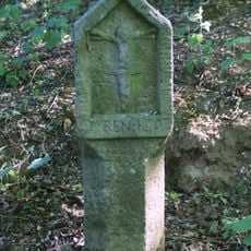
Bildstock
834 m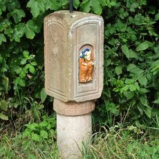
Bildstock
932 m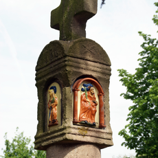
Bildstock
597 m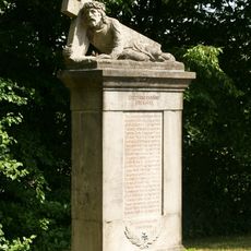
Kriegerdenkmal
505 m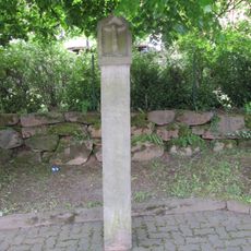
Bildstock
1.5 km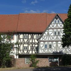
Zehntstadel
728 m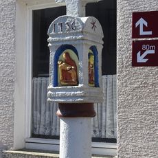
Bildstock
1.3 km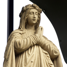
Muttergottesfigur
530 m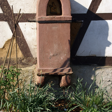
Bildstock
615 m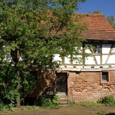
Wohnhaus
1.1 km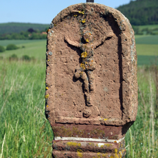
Bildstock
1.2 km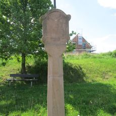
Bildstock
828 m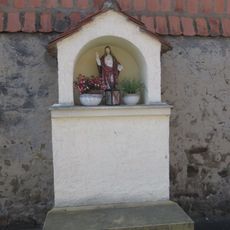
Bildstock
1.3 km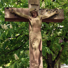
Wegkreuz
654 m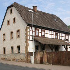
Wohnhaus
931 m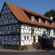
Wohnstallhaus
757 m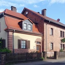
Forsthaus
585 m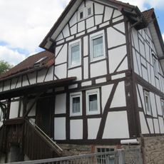
Wohnhaus
1.4 km
Wegkreuz
1 kmVisited this place? Tap the stars to rate it and share your experience / photos with the community! Try now! You can cancel it anytime.
Discover hidden gems everywhere you go!
From secret cafés to breathtaking viewpoints, skip the crowded tourist spots and find places that match your style. Our app makes it easy with voice search, smart filtering, route optimization, and insider tips from travelers worldwide. Download now for the complete mobile experience.

A unique approach to discovering new places❞
— Le Figaro
All the places worth exploring❞
— France Info
A tailor-made excursion in just a few clicks❞
— 20 Minutes