
Stadtbefestigung, umschließt trapezförmiges Areal, erste Befestigung wohl mit Stadtgründung 1. Hälfte 13. Jahrhundert angelegt, Erneuerung und Ausbau unter Herzog Herzöge von Teck 2. Hälfte 14. Jahrhundert und unter den Herren von Frundsberg Ende 15./Anfang 16
Location: Mindelheim
Address: Kirchgasse, Kirchgasse 1, 5, 7, 9 (evtl. auch in weiteren Häusern verbaute Reste)
GPS coordinates: 48.04653,10.48867
Latest update: March 3, 2025 18:06
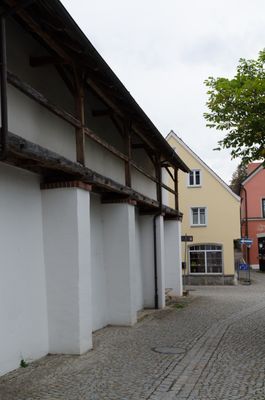
Heilig-Geist-Spital
36 m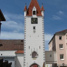
Oberes Tor
144 m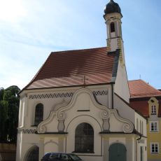
Gruftkapelle Maria Schnee und St. Michael
124 m
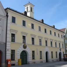
Maximilianstraße 36 (Mindelheim)
60 m
Ehemalige Benefiziatenhäuser
119 m
Maximilianstraße 46
114 m
Ausstattung der Weinstube
101 m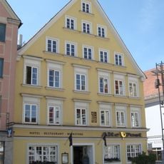
Gasthof zur Post
53 m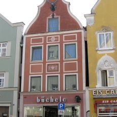
Wohn- und Geschäftshaus
90 m
Steinstraße 12-14
106 m
Wohn- und Geschäftshaus
99 m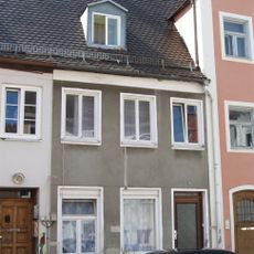
Wohnhaus
143 m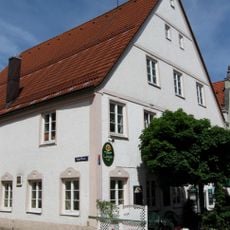
Kornstraße 13
101 m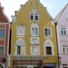
Maximilianstraße 51
97 m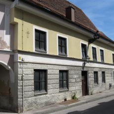
Kappelgasse 2 (Mindelheim)
139 m
Maximilianstraße 35
37 m
Ehemaliger Gasthof zum Mohren
138 m
Wohn- und Geschäftshaus
71 m
Wohn- und Geschäftshaus
119 m
Wohn- und Geschäftshaus
125 m
Ehemaliges Gasthaus
92 m
Wohnhaus
102 m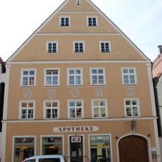
Engelapotheke
113 m
Ehemaliger Gasthof
125 m
Wohnhaus
136 m
Frundsbergstraße 4
130 m
Maximilianstraße 7
111 m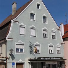
Wohnhaus
120 mReviews
Visited this place? Tap the stars to rate it and share your experience / photos with the community! Try now! You can cancel it anytime.
Discover hidden gems everywhere you go!
From secret cafés to breathtaking viewpoints, skip the crowded tourist spots and find places that match your style. Our app makes it easy with voice search, smart filtering, route optimization, and insider tips from travelers worldwide. Download now for the complete mobile experience.

A unique approach to discovering new places❞
— Le Figaro
All the places worth exploring❞
— France Info
A tailor-made excursion in just a few clicks❞
— 20 Minutes