
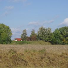
Stadel, erdgeschossiger, teilweise ausgemauerter Blockbau mit Kniestock und Steildach, erste Hälfte 19. Jahrhundert
Location: Stephansposching
Address: Rottersdorf 21
GPS coordinates: 48.79853,12.77906
Latest update: April 2, 2025 22:03
Römerschanze
3.5 km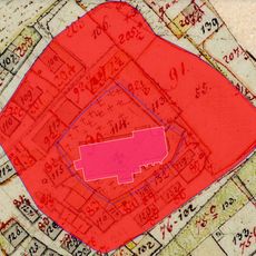
Schloss Geiselhöring
5.2 km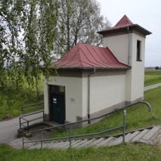
Schöpfwerk Mariaposching
3.5 km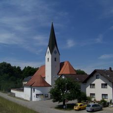
Mariä Geburt (Mariaposching)
3.6 km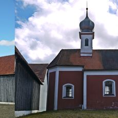
Katholische Filialkirche St. Petrus
3.7 km
Katholische Filialkirche St. Georg
108 m
St. Stephan
2.9 km
Katholische Filialkirche St. Pauli Bekehrung
1.8 km
Katholische Pfarrkirche St. Peter und Paul
5.2 km
Kapelle ''Zur Heiligen Familie''
637 m
St. Rupert (Altenbuch, Wallersdorf)
2.5 km
Mariä Himmelfahrt
5.1 km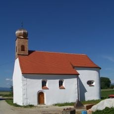
Kirche
4.2 km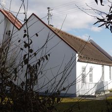
Evangelisch-lutherische Kirche
4.5 km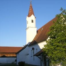
Katholische Filialkirche Unserer lieben Frau
3.3 km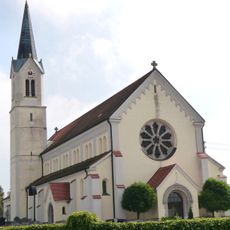
Katholische Pfarrkirche St. Laurentius
4.8 km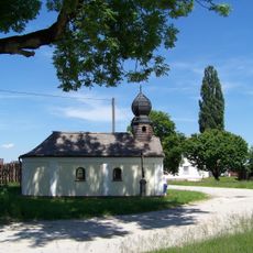
Ortskapelle
1.7 km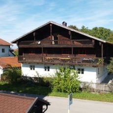
Herzog-Odilo-Straße 31 (Mariaposching)
3.7 km
Ehemaliges Gasthaus
5.1 km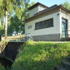
Schöpfwerk Mariaposching
3.5 km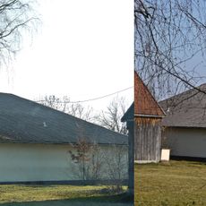
Wohnstallhaus eines ehemaligen Vierseithofs
3.6 km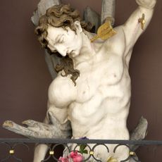
Heiligenfigur, Halbfigur des Hl. Sebastian
4.7 km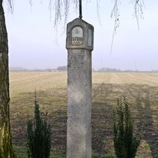
Bildstock
5 km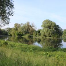
Donau-Ufer bei Irlbach
4.6 km
Stadtfeldstraße 4
3.6 km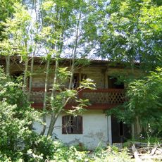
Wohnteil eines ehemaligen Wohnstallhauses
3.8 km
Gasthaus
3.7 km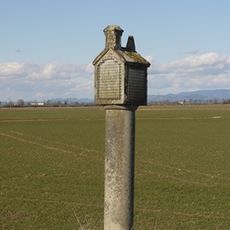
Bildstock, Granitsäule mit Laterne
3.8 kmReviews
Visited this place? Tap the stars to rate it and share your experience / photos with the community! Try now! You can cancel it anytime.
Discover hidden gems everywhere you go!
From secret cafés to breathtaking viewpoints, skip the crowded tourist spots and find places that match your style. Our app makes it easy with voice search, smart filtering, route optimization, and insider tips from travelers worldwide. Download now for the complete mobile experience.

A unique approach to discovering new places❞
— Le Figaro
All the places worth exploring❞
— France Info
A tailor-made excursion in just a few clicks❞
— 20 Minutes