
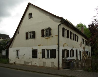
Wohnhaus, building in Erlangen, Middle Franconia, Germany
Location: Erlangen
Address: Sankt Michael 42/44
GPS coordinates: 49.57902,10.94367
Latest update: March 20, 2025 10:01

St. Xystus (Büchenbach)
1.7 km
Bimbachtal
1.3 km
Klosterwald mit Lobersweihern und dem Grünzug westlich des Ortsteiles Neuses
1.2 km
Rittersbachtal
326 m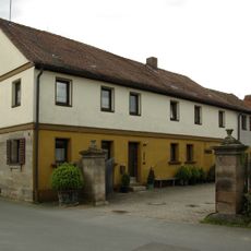
Bauernhaus
112 m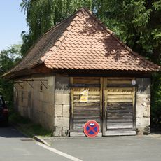
Ehemaliges Feuerhaus
1.7 km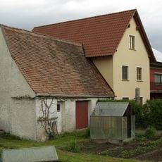
Bauernhaus, Wohnhaus
89 m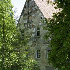
Sägemühle Frauenaurach
1.6 km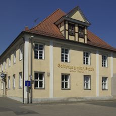
Ehemaliges Gasthaus Zum alten Schloß
1.7 km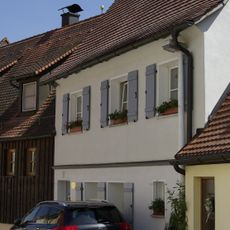
Wallenrodstraße 21
1.7 km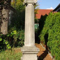
Häuslinger Marter
1.4 km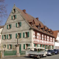
Ehemaliges Gasthaus Zum Alten Markt
1.7 km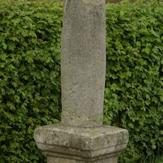
Bildstock Kieselbergstraße
62 m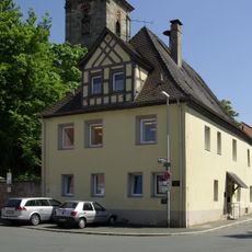
Ehemalige Gemeindekanzlei, zuvor markgräfliches Amtshaus
1.7 km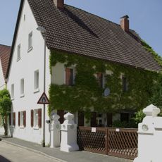
Ehemaliges Klosterrentamt
1.6 km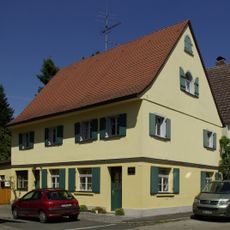
Ehemaliges Bäcker- und Weberhaus
1.6 km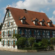
Gasthaus Schwarzer Adler
1.7 km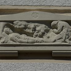
Gefallenentafel Herzogenauracher Straße
1.6 km
Wegkreuz
117 m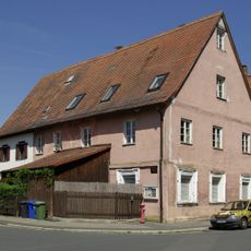
Ehemalige Dorfschmiede
1.7 km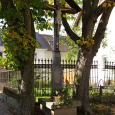
Wegkreuz in Häusling
1.5 km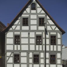
Wohnhaus
1.7 km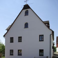
Wohnhaus
1.7 km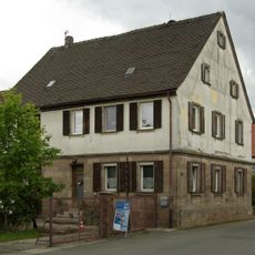
Bauernhof
71 m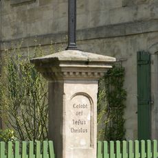
Wegkreuz
1.7 km
Wegkreuz
1.6 km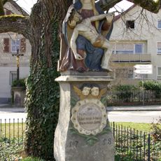
Pietà
1.6 km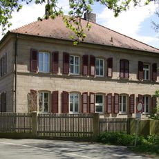
Pfarrhaus
1.7 kmReviews
Visited this place? Tap the stars to rate it and share your experience / photos with the community! Try now! You can cancel it anytime.
Discover hidden gems everywhere you go!
From secret cafés to breathtaking viewpoints, skip the crowded tourist spots and find places that match your style. Our app makes it easy with voice search, smart filtering, route optimization, and insider tips from travelers worldwide. Download now for the complete mobile experience.

A unique approach to discovering new places❞
— Le Figaro
All the places worth exploring❞
— France Info
A tailor-made excursion in just a few clicks❞
— 20 Minutes