
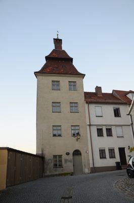
Ursulaturm, viergeschossiger Eckturm der Stadtbefestigung mit Mansardwalmdach, im Kern 14./15. Jahrhundert, oberer Teil nach 1735
Location: Günzburg
Address: Postgasse 14
GPS coordinates: 48.45602,10.27446
Latest update: March 5, 2025 19:10
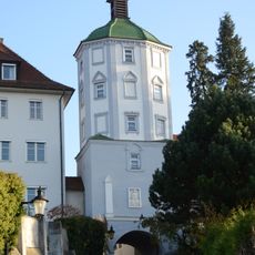
Kuhturm (Günzburg)
94 m
Institutstraße 14
56 m
Institutstraße 6
73 m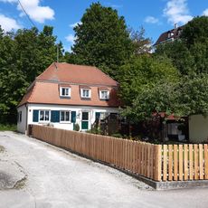
Webergasse 20
41 m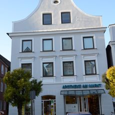
Marktplatz 30 (Günzburg)
102 m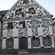
Institutstraße 12
62 m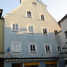
Marktplatz 41
140 m
Marktplatz 39
137 m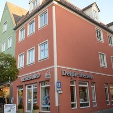
Marktplatz 35
140 m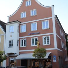
Marktplatz 32
95 m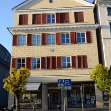
Marktplatz 26
112 m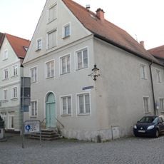
Dominikus-Zimmermann-Straße 7
153 m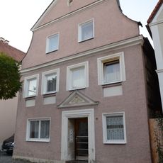
Institutstraße 4 (Günzburg)
84 m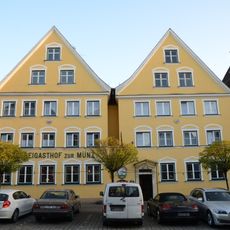
Marktplatz 25
154 m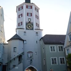
Unteres Tor
135 m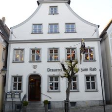
Marktplatz 40
104 m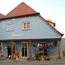
Ehemals Untere Torwache bzw. Unteres Zollhaus
135 m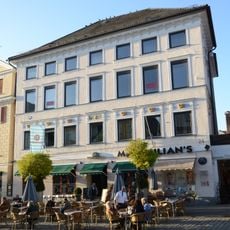
Marktplatz 24
124 m
Wohnhaus
101 m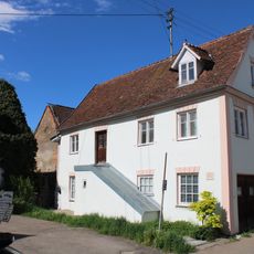
Webergasse 11
121 m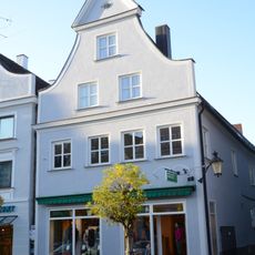
Marktplatz 28
105 m
Webergasse 4
140 m
Wohnhaus
131 m
Wohnhaus
139 m
Webergasse 29
50 m
Marktplatz 22
137 m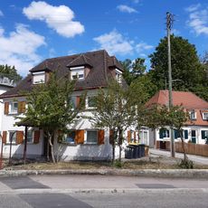
Webergasse 22
50 m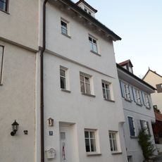
Wohnhaus
12 mReviews
Visited this place? Tap the stars to rate it and share your experience / photos with the community! Try now! You can cancel it anytime.
Discover hidden gems everywhere you go!
From secret cafés to breathtaking viewpoints, skip the crowded tourist spots and find places that match your style. Our app makes it easy with voice search, smart filtering, route optimization, and insider tips from travelers worldwide. Download now for the complete mobile experience.

A unique approach to discovering new places❞
— Le Figaro
All the places worth exploring❞
— France Info
A tailor-made excursion in just a few clicks❞
— 20 Minutes