
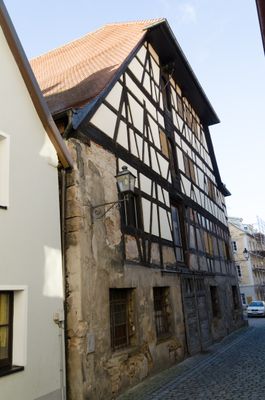
Ehemalige Zehntscheune, zweigeschossiges Gebäude mit Halbwalmdach, teilweise Fachwerk, erkerähnlicher Obergeschossanbau, Fachwerk, mit Walmdach, 17./18. Jahrhundert, im Kern wohl spätmittelalterlich
Location: Ansbach
Address: Büttenstraße 15
GPS coordinates: 49.30197,10.57030
Latest update: March 3, 2025 01:24

Platenstraße 19
63 m
Platenstraße 11
68 m
Rosenbadstraße 12
59 m
Büttenstraße 32
61 m
Platenstraße 17
62 m
Wohnhaus
52 m
Platenstraße 22 (Ansbach)
53 m
Büttenstraße 20
42 m
Büttenstraße 25
54 m
Büttenstraße 16
58 m
Büttenstraße 28
42 m
Rosenstraße 8
67 m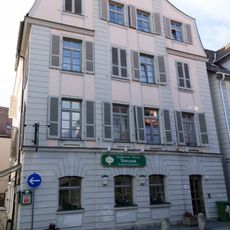
Platenstraße 12
44 m
Wohnhaus
61 m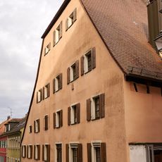
Büttenstraße 13
26 m
Wohnhaus, ehemals auch Lagerhaus
36 m
Rosenstraße 10
36 m
Rosenstraße 14
14 m
Platenstraße 10
54 m
Rosenbadstraße 13 (Ansbach)
52 m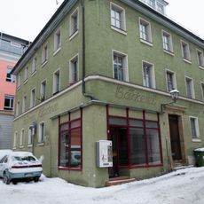
Wohnhaus
70 m
Büttenstraße 26
39 m
Platenstraße 18
39 m
Büttenstraße 24
37 m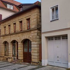
Platenstraße 21
62 m
Wohnhaus
14 m
Wohnhaus
68 m
Wohnhaus
41 mReviews
Visited this place? Tap the stars to rate it and share your experience / photos with the community! Try now! You can cancel it anytime.
Discover hidden gems everywhere you go!
From secret cafés to breathtaking viewpoints, skip the crowded tourist spots and find places that match your style. Our app makes it easy with voice search, smart filtering, route optimization, and insider tips from travelers worldwide. Download now for the complete mobile experience.

A unique approach to discovering new places❞
— Le Figaro
All the places worth exploring❞
— France Info
A tailor-made excursion in just a few clicks❞
— 20 Minutes