
Ehemaliges Spital, zweigeschossiger Traufseitbau in Ecklage, im Kern um 1680 Erweiterung nach Süden 2. Hälfte 19. Jahrhundert
Location: Donauwörth
Address: Spitalstraße 2; Spitalstraße 4
GPS coordinates: 48.71762,10.78051
Latest update: March 4, 2025 21:54

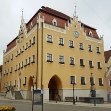
Rathaus Donauwörth
48 m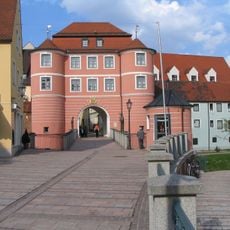
Haus der Stadtgeschichte (Donauwörth)
56 m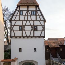
Färbertor
146 m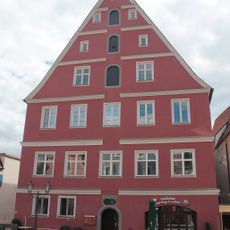
Hindenburgstraße 22
143 m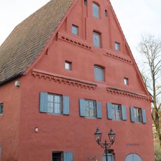
Heimatmuseum Donauwörth
128 m
Reichsstraße 10 in Donauwörth
89 m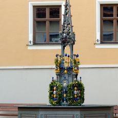
Marienbrunnen
33 m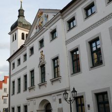
Kapellstraße 3 in Donauwörth
84 m
Reichsstraße 6 in Donauwörth
72 m
Kleinhaus
100 m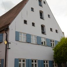
Rathausgasse 2 in Donauwörth
86 m
Eichgasse 1 in Donauwörth
75 m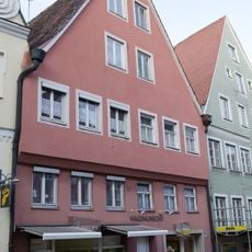
Reichsstraße 12 in Donauwörth
94 m
Wohn- und Geschäftshaus
68 m
Hindenburgstraße 3 (Donauwörth)
97 m
Kapellstraße 5 in Donauwörth
45 m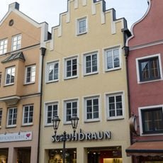
Reichsstraße 8 in Donauwörth
83 m
Reichsstraße 14 in Donauwörth
100 m
Reichsstraße 2 in Donauwörth
66 m
Reichsstraße 1 in Donauwörth
42 m
Reichsstraße 15 in Donauwörth
92 m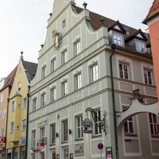
Reichsstraße 20 in Donauwörth
127 m
Traufseithaus
109 m
Reichsstraße 7, 7a in Donauwörth
54 m
Giebelhaus
144 m
Wohn- und Geschäftshaus
33 m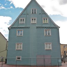
Hindenburgstraße 11 (Donauwörth)
113 m
Hindenburgstraße 14 in Donauwörth
129 mReviews
Visited this place? Tap the stars to rate it and share your experience / photos with the community! Try now! You can cancel it anytime.
Discover hidden gems everywhere you go!
From secret cafés to breathtaking viewpoints, skip the crowded tourist spots and find places that match your style. Our app makes it easy with voice search, smart filtering, route optimization, and insider tips from travelers worldwide. Download now for the complete mobile experience.

A unique approach to discovering new places❞
— Le Figaro
All the places worth exploring❞
— France Info
A tailor-made excursion in just a few clicks❞
— 20 Minutes