
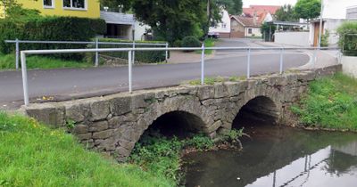
Straßenbrücke, cultural heritage monument D-6-74-163-107 (0) in Knetzgau, Bavaria
Location: Knetzgau
Address: Alter Rathausplatz 3; Hauptstraße 18; Mühlenweg 9; Weidengasse
GPS coordinates: 49.99656,10.55187
Latest update: November 28, 2025 14:30
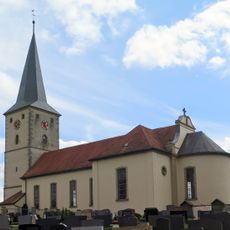
Pfarrkirche
564 m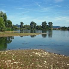
Mainaue bei Augsfeld
1.7 km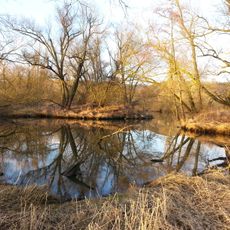
Mainaue zwischen Eltmann und Haßfurt
1 km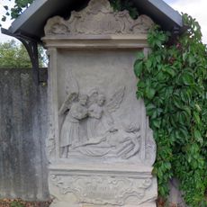
Friedhof
570 m
Lindenhain
2.2 km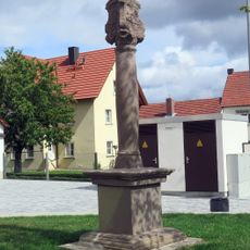
Bildstock
432 m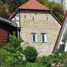
Scheune
555 m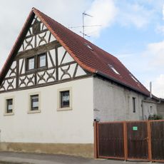
Bauernhaus
350 m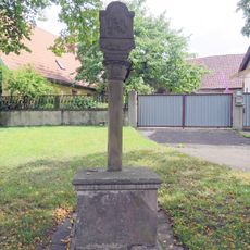
Bildstock
36 m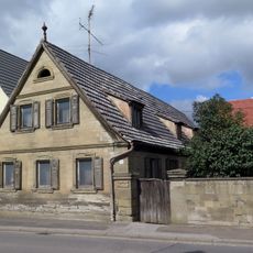
Hoftor
471 m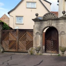
Hoftor
443 m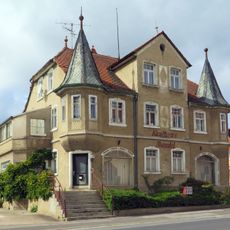
Wohnhaus
461 m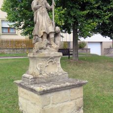
Heiligenfigur
666 m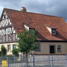
Wohnhaus
542 m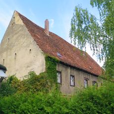
Zehntstadel
121 m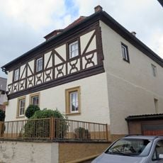
Heiligenfigur
222 m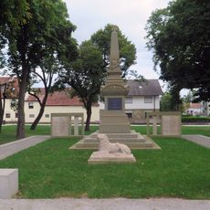
Kriegerdenkmal
419 m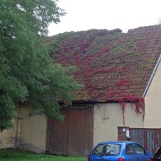
Mühle
85 m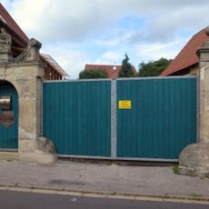
Heiligenfigur
415 m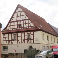
Wohnhaus
524 m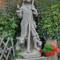
Heiligenfigur
425 m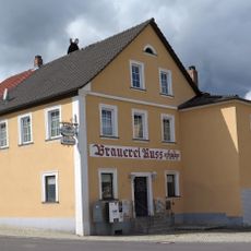
Gasthaus
585 m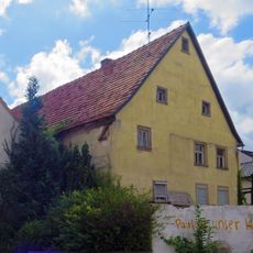
Wohnhaus
588 m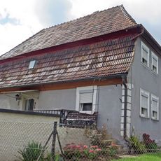
Wohnhaus
462 m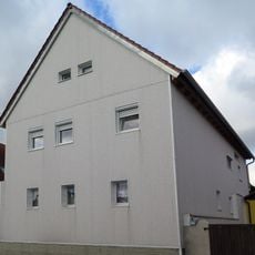
Bauernhaus
335 m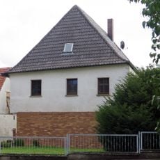
Wasserburg
122 m
Hoftor
578 m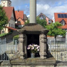
Bildstock
524 mReviews
Visited this place? Tap the stars to rate it and share your experience / photos with the community! Try now! You can cancel it anytime.
Discover hidden gems everywhere you go!
From secret cafés to breathtaking viewpoints, skip the crowded tourist spots and find places that match your style. Our app makes it easy with voice search, smart filtering, route optimization, and insider tips from travelers worldwide. Download now for the complete mobile experience.

A unique approach to discovering new places❞
— Le Figaro
All the places worth exploring❞
— France Info
A tailor-made excursion in just a few clicks❞
— 20 Minutes