
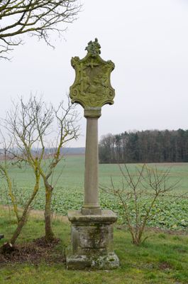
Bildstock, cultural heritage monument D-6-72-135-237 (0) in Münnerstadt, Bavaria
Location: Münnerstadt
Address: Weichtunger Tannig; Maßbacher Höhe
GPS coordinates: 50.23202,10.27653
Latest update: October 17, 2025 10:40
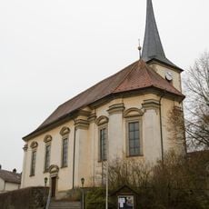
Filialkirche
1.7 km
Rathaus
1.8 km
Pfarrhof
1.1 km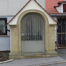
Wegkapelle
1.1 km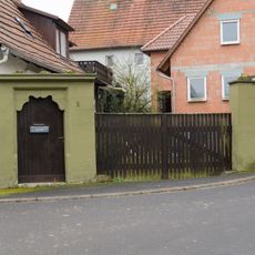
Hoftoranlage
830 m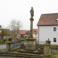
Kriegerdenkmal
1 km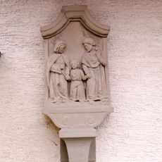
Bildstock
1.8 km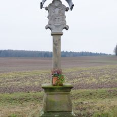
Bildstock
777 m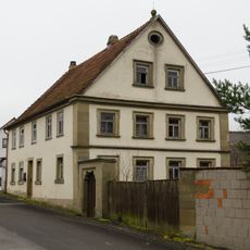
Wohnstallhaus
1 km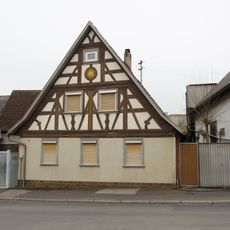
Wohnstallhaus
988 m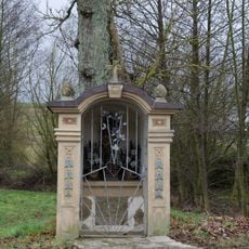
Bildstock
2.4 km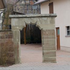
Pforte
2.4 km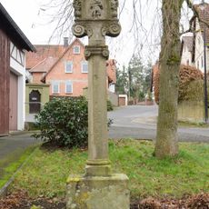
Bildstock
856 m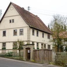
Wohnhaus
829 m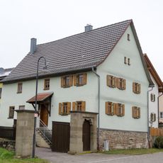
Wohnhaus
2.5 km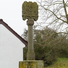
Bildstock
729 m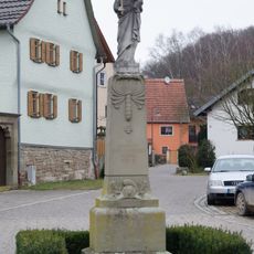
Kriegerdenkmal
2.4 km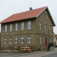
Rosenallee 31
1.8 km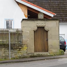
Pforte
764 m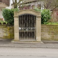
Bildstock
1 km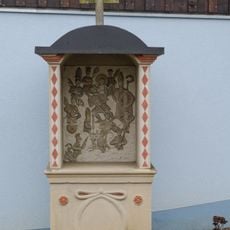
Bildstock
2.5 km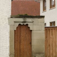
Pforte
1.1 km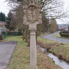
Bildstock
2 km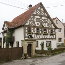
Wohnstallhaus
1 km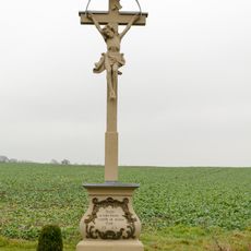
Steinkreuz
2.2 km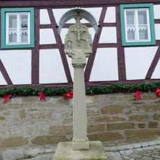
Bildstock
1.8 km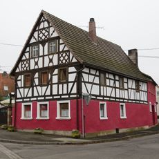
Wohnstallhaus
927 m
Hoftor
2.4 kmVisited this place? Tap the stars to rate it and share your experience / photos with the community! Try now! You can cancel it anytime.
Discover hidden gems everywhere you go!
From secret cafés to breathtaking viewpoints, skip the crowded tourist spots and find places that match your style. Our app makes it easy with voice search, smart filtering, route optimization, and insider tips from travelers worldwide. Download now for the complete mobile experience.

A unique approach to discovering new places❞
— Le Figaro
All the places worth exploring❞
— France Info
A tailor-made excursion in just a few clicks❞
— 20 Minutes