
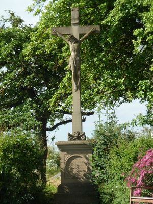
Wegkreuz, cultural heritage monument D-6-72-143-15 (0) in Rannungen, Bavaria
Location: Rannungen
Address: Nähe Schweinfurter Straße (Häfnershöhe)
GPS coordinates: 50.16204,10.20987
Latest update: April 22, 2025 14:37
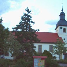
Pfarrkirche
640 m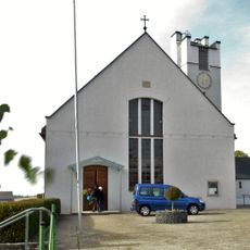
Filialkirche
2.3 km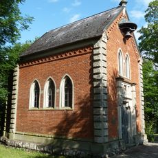
Kapelle
533 m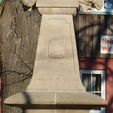
Kriegerdenkmal
599 m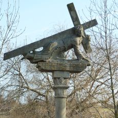
Kreuzschlepper
703 m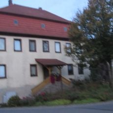
Gasthaus
639 m
Wegkreuz
1.2 km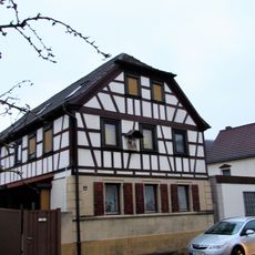
Wohnstallhaus
3.5 km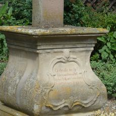
Wegkreuz
243 m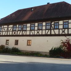
Gasthaus
620 m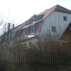
Schloss
689 m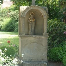
Prozessionsaltar
508 m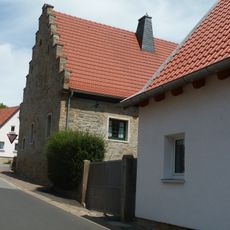
Zehntstadel
620 m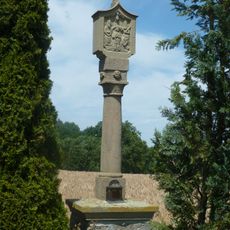
Bildstock
2.1 km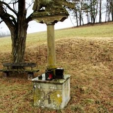
Kreuzschlepper
3.1 km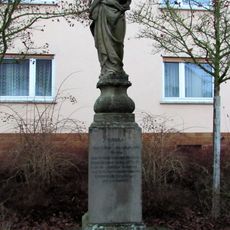
Kriegerdenkmal
3.6 km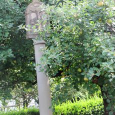
Bildstock
3.4 km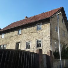
Bauernhaus
578 m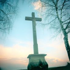
Wegkreuz
829 m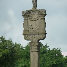
Bildstock
873 m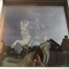
Hausfigur
604 m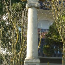
Bildstock
862 m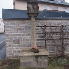
Bildstock
3.6 km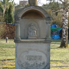
Prozessionsaltar
467 m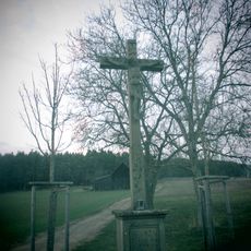
Bildstock
3.3 km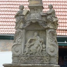
Prozessionsaltar
628 m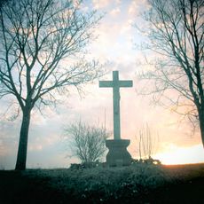
Wegkreuz
1.3 km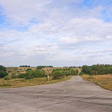
Standortübungsplatz 'Brönnhof' und Umgebung
3.1 kmReviews
Visited this place? Tap the stars to rate it and share your experience / photos with the community! Try now! You can cancel it anytime.
Discover hidden gems everywhere you go!
From secret cafés to breathtaking viewpoints, skip the crowded tourist spots and find places that match your style. Our app makes it easy with voice search, smart filtering, route optimization, and insider tips from travelers worldwide. Download now for the complete mobile experience.

A unique approach to discovering new places❞
— Le Figaro
All the places worth exploring❞
— France Info
A tailor-made excursion in just a few clicks❞
— 20 Minutes