
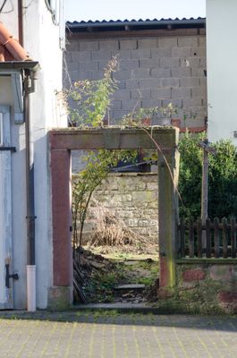
Fußgängerpforte, bezeichnet „1699“; ''nicht nachqualifiziert, im Bayerischen Denkmal-Atlas nicht kartiert''
Location: Eußenheim
Address: Aschfelder Straße 71
GPS coordinates: 50.00624,9.83114
Latest update: May 2, 2025 21:20
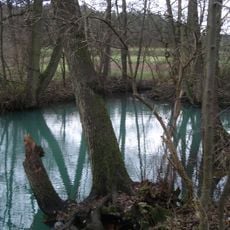
Kühles Loch
1.5 km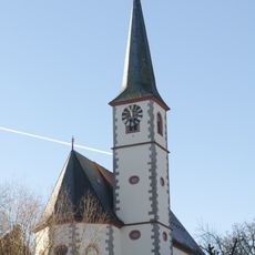
St. Bonifatius (Aschfeld)
477 m
St. Petrus und Marcellinus
2.4 km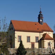
St. Martin
2 km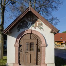
Kapelle
729 m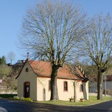
Vierzehnnothelfer
2.1 km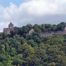
Ruine Homburg
1.2 km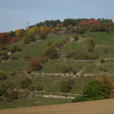
Giebel
1.5 km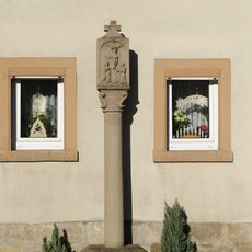
Bildstock
699 m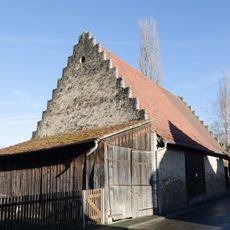
Scheune
2.3 km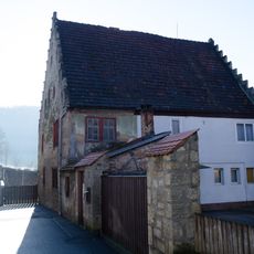
Wohnhaus
372 m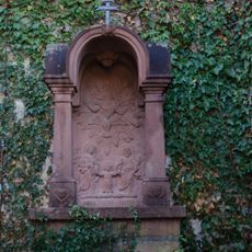
Prozessionsaltar
441 m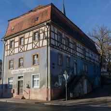
Gasthaus
414 m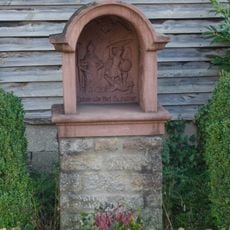
Bildstock
54 m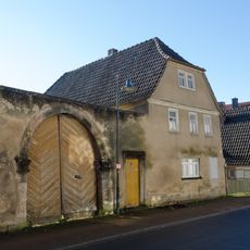
Wohnhaus
97 m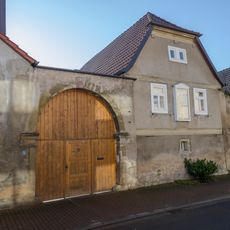
Bauernhof
83 m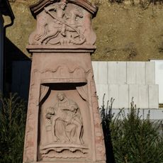
Bildstock
202 m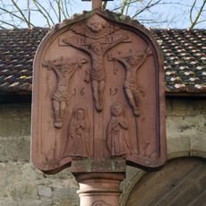
Bildstock
455 m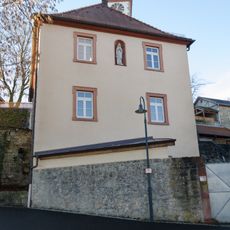
Pfarrhaus
434 m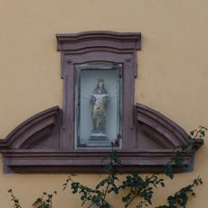
Portalsturz
236 m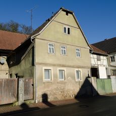
Wohnhaus
321 m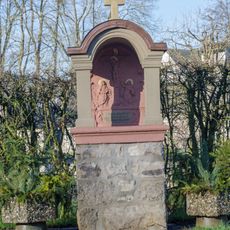
Prozessionsaltar
1.9 km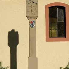
Bildstock
2.1 km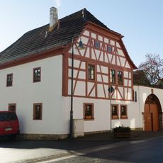
Wohnhaus
288 m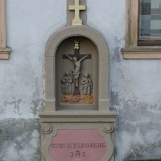
Bildstock
1.9 km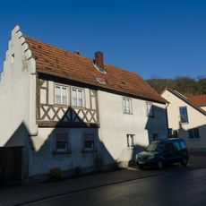
Wohnhaus
365 m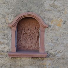
Bildstock
382 m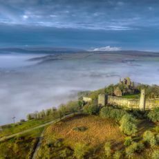
Trockengebiete an den Werntalhängen zwischen Karsbach und Stetten
1.3 kmVisited this place? Tap the stars to rate it and share your experience / photos with the community! Try now! You can cancel it anytime.
Discover hidden gems everywhere you go!
From secret cafés to breathtaking viewpoints, skip the crowded tourist spots and find places that match your style. Our app makes it easy with voice search, smart filtering, route optimization, and insider tips from travelers worldwide. Download now for the complete mobile experience.

A unique approach to discovering new places❞
— Le Figaro
All the places worth exploring❞
— France Info
A tailor-made excursion in just a few clicks❞
— 20 Minutes