
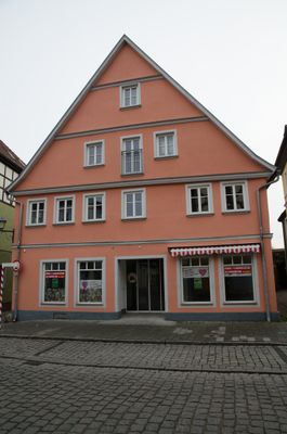
Rothenburger Straße 13, building in Bad Windsheim, Middle Franconia, Germany
Location: Bad Windsheim
Address: Rothenburger Straße 13
GPS coordinates: 49.50060,10.41535
Latest update: March 3, 2025 17:35

Spitalkirche
43 m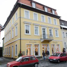
Rothenburger Straße 9
28 m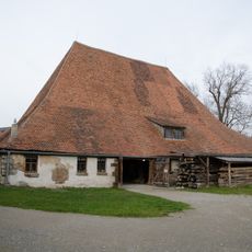
Ehemaliger Städtischer Bauhof, Bauhofstadel
105 m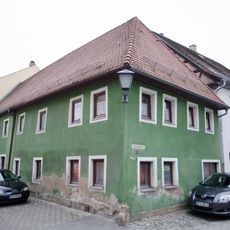
Wassergasse 3
105 m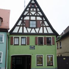
Rothenburger Straße 21
49 m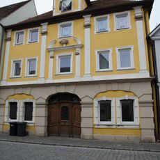
Rothenburger Straße 20
101 m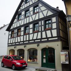
Wassergasse 9
111 m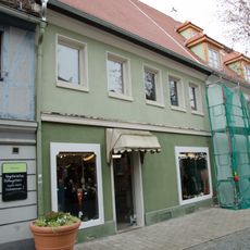
Herrngasse 9 (Bad Windsheim)
115 m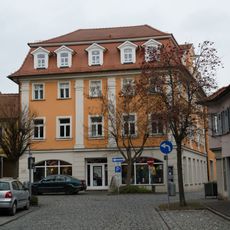
Herrngasse 2
96 m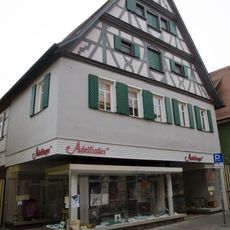
Schwalbengasse 13 (Bad Windsheim)
94 m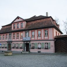
Bürgerhaus, dann Gasthaus zum Hirschen seit 1908
113 m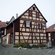
Wohnhaus
75 m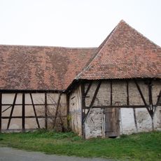
Scheune, sogenannte Spitalscheuer, dann Prellsche Scheune
83 m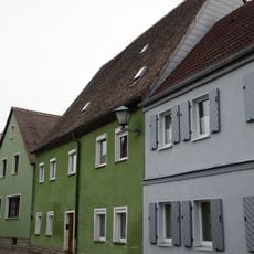
Gänsgasse 4
89 m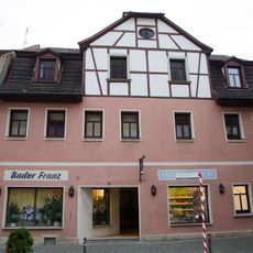
Rothenburger Straße 17
24 m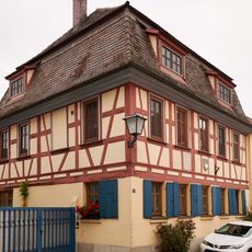
Schirmergasse 5 (Bad Windsheim)
95 m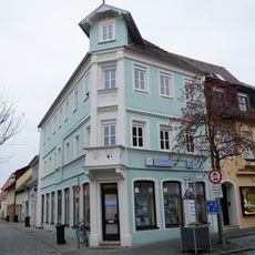
Schirmergasse 2
65 m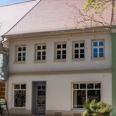
Herrngasse 7
108 m
Spitalgasse 2
75 m
Spitalgasse 4
84 m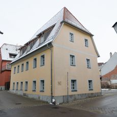
Wassergasse 1
110 m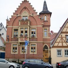
Holzmarkt 7
114 m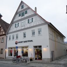
Rothenburger Straße 12
37 m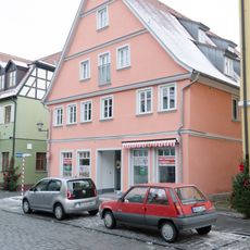
Rothenburger Straße 7
37 m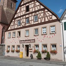
Rothenburger Straße 14
35 m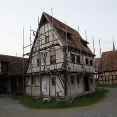
Handwerkerhaus in Bad Windsheim
107 m
Herrngasse 1
86 m
Rothenburger Straße 11
13 mReviews
Visited this place? Tap the stars to rate it and share your experience / photos with the community! Try now! You can cancel it anytime.
Discover hidden gems everywhere you go!
From secret cafés to breathtaking viewpoints, skip the crowded tourist spots and find places that match your style. Our app makes it easy with voice search, smart filtering, route optimization, and insider tips from travelers worldwide. Download now for the complete mobile experience.

A unique approach to discovering new places❞
— Le Figaro
All the places worth exploring❞
— France Info
A tailor-made excursion in just a few clicks❞
— 20 Minutes