
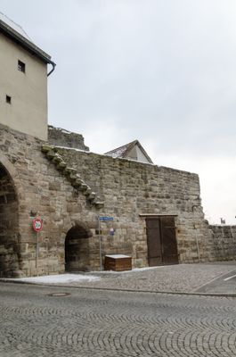
Stadtmauer, verlauf der Stadtmauer vom Nürnberger Tor bis Oberer Stadtmauerweg 1
Location: Neustadt an der Aisch
Address: Nürnberger Straße 22 a
GPS coordinates: 49.57952,10.61179
Latest update: March 5, 2025 12:58
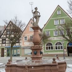
Neptunbrunnen
217 m
Hintere Kellereigasse 13, 15
140 m
Max-Döllner-Platz 8
83 m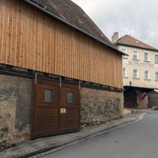
Scheune
157 m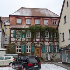
Bamberger Straße 24
224 m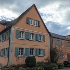
Wohnhaus
208 m
Nürnberger Straße 31
26 m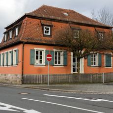
Ehemaliges Militärlazarett
102 m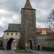
Nürnberger Tor
35 m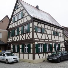
Vordere Kellereigasse 6
135 m
Vortor
34 m
Nürnberger Straße 5
161 m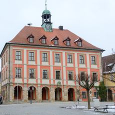
Rathaus
204 m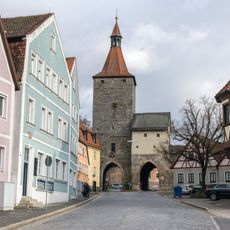
Cultural heritage D-5-6429-0175 in Neustadt an der Aisch
233 m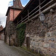
Flurerturm
208 m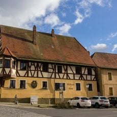
Nürnberger Straße 18
36 m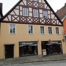
Nürnberger Straße 6
143 m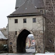
Torhaus
28 m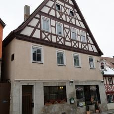
Nürnberger Straße 2
170 m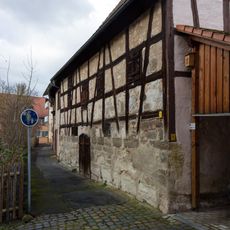
Zehentplatz 3
188 m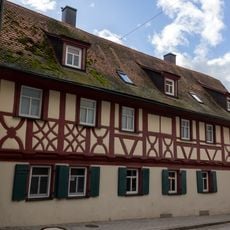
Marktplatz 6 (Neustadt an der Aisch)
184 m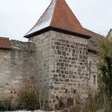
Sauturm
169 m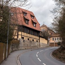
Bastion
56 m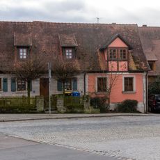
Nürnberger Straße 26
84 m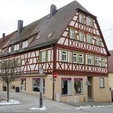
Nürnberger Straße 16
71 m
Schmiedegasse 2
152 m
Marktplatz 10
211 m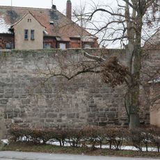
Stadtmauer
35 mReviews
Visited this place? Tap the stars to rate it and share your experience / photos with the community! Try now! You can cancel it anytime.
Discover hidden gems everywhere you go!
From secret cafés to breathtaking viewpoints, skip the crowded tourist spots and find places that match your style. Our app makes it easy with voice search, smart filtering, route optimization, and insider tips from travelers worldwide. Download now for the complete mobile experience.

A unique approach to discovering new places❞
— Le Figaro
All the places worth exploring❞
— France Info
A tailor-made excursion in just a few clicks❞
— 20 Minutes