
Allee, 18. Jahrhundert
Location: Ellingen
Address: Spitalberg
GPS coordinates: 49.06847,10.96729
Latest update: September 23, 2025 18:19


Schlosspark Ellingen
657 m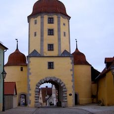
Pleinfelder Tor
631 m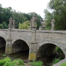
Heiligenbrücke
499 m
Hospital Church of St. Elisabeth in Ellingen
212 m
Bahnhofstraße 9
511 m
Rosental 1, 3
620 m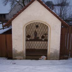
Anna-Kapelle
465 m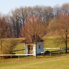
Kapelle
387 m
Pleinfelder Straße 25 (Ellingen)
663 m
Wohnhaus
651 m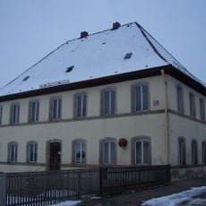
Rosental 24
386 m
Rosental 5
592 m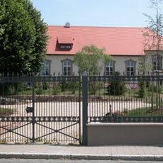
Rosental 27
443 m
Rosental 3
609 m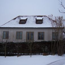
Ehemaliger Gartenpavillon
568 m
Rosental 8
554 m
Rosental 10
544 m
Rosental 12
537 m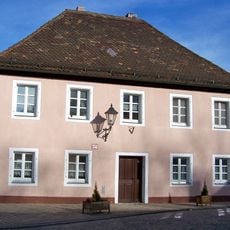
Rosental 19
503 m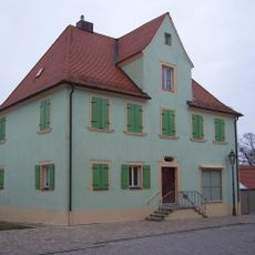
Pleinfelder Straße 30 (Ellingen)
650 m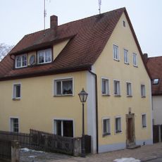
Rosental 2b
603 m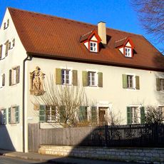
Rosental 29
405 m
Elisabethspital
199 m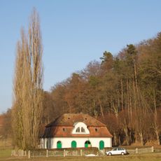
Pumpenhaus
296 m
Sogenannte Schafscheuer
528 m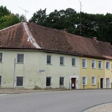
Wohnhaus, heute dreiteiliges Reihenhaus
512 m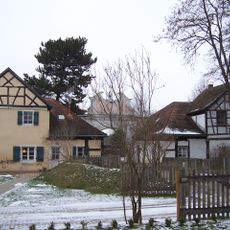
Schlosstor zum Rosental
525 m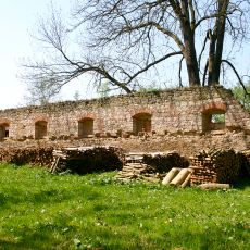
Remise
591 mReviews
Visited this place? Tap the stars to rate it and share your experience / photos with the community! Try now! You can cancel it anytime.
Discover hidden gems everywhere you go!
From secret cafés to breathtaking viewpoints, skip the crowded tourist spots and find places that match your style. Our app makes it easy with voice search, smart filtering, route optimization, and insider tips from travelers worldwide. Download now for the complete mobile experience.

A unique approach to discovering new places❞
— Le Figaro
All the places worth exploring❞
— France Info
A tailor-made excursion in just a few clicks❞
— 20 Minutes