
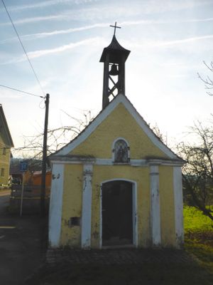
Dorfkapelle Mariä Königin, building in Kallmünz, Upper Palatinate, Germany
Location: Kallmünz
Address: In Schirndorf
GPS coordinates: 49.17945,11.99016
Latest update: March 9, 2025 04:19
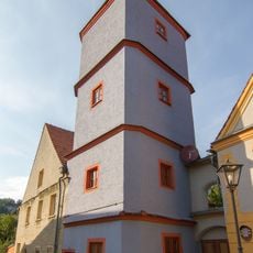
Silbermannsches Schlösschen
3.2 km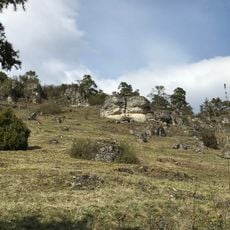
Hutberg bei Fischbach
893 m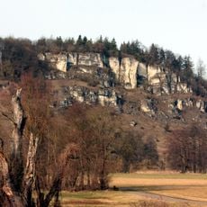
Eichenberg
1.9 km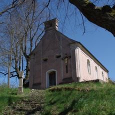
St. Sebastian (Kallmünz)
2.6 km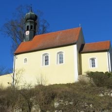
St. Jakobus der Ältere
1.1 km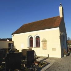
St. Elisabeth (Kallmünz)
3.1 km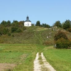
Kapelle St. Johannes Nepomuk auf dem Blümelberg
3 km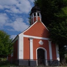
Maria Hilf Kapelle
915 m
Kapelle Hl. Dreifaltigkeit
3.1 km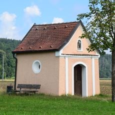
Feldkapelle
2.2 km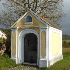
Wegkapelle, sogenannte Knauerkapelle
2.8 km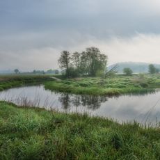
Unteres Naabtal: Feldkreuz nördlich Zaar bis Burglengenfeld (Westseite)
1.4 km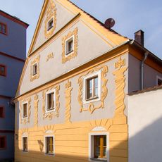
Wohnhaus
3.1 km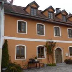
Wohnhaus
3.1 km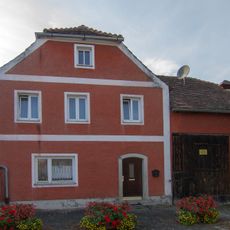
Wohnhaus
3.1 km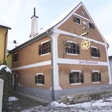
Wohnhaus
3.2 km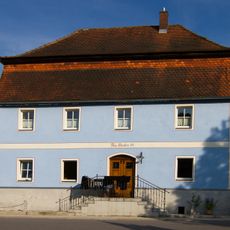
Wohnhaus
3.1 km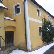
Kallmünz
3.1 km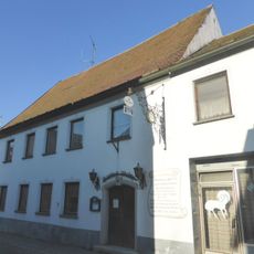
Lange Gasse 7
3 km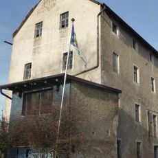
Mühle
122 m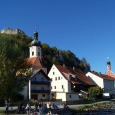
Ensemble Ortskern Kallmünz
3 km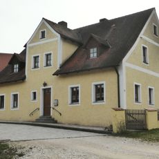
Bauernhaus
1.2 km
Trockenhänge bei Kallmünz
2.2 km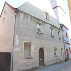
Wohnhaus
3.1 km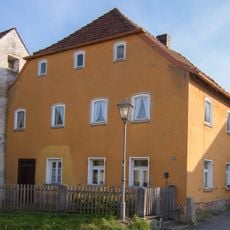
Wohnhaus
3.1 km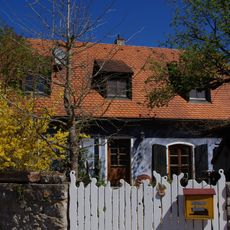
Wohnhaus
3 km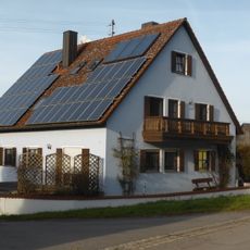
Wohnhaus des sogenannten Stegerer-Hofes
875 m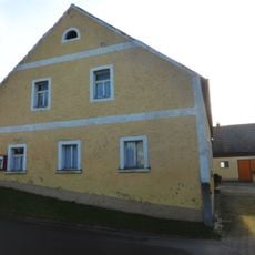
Bauernhaus des sogenannten Igl-Hofes
940 mVisited this place? Tap the stars to rate it and share your experience / photos with the community! Try now! You can cancel it anytime.
Discover hidden gems everywhere you go!
From secret cafés to breathtaking viewpoints, skip the crowded tourist spots and find places that match your style. Our app makes it easy with voice search, smart filtering, route optimization, and insider tips from travelers worldwide. Download now for the complete mobile experience.

A unique approach to discovering new places❞
— Le Figaro
All the places worth exploring❞
— France Info
A tailor-made excursion in just a few clicks❞
— 20 Minutes