
Ehem. Bauernhaus, building in Wörth an der Donau, Upper Palatinate, Germany
Location: Wörth an der Donau
Address: Weihern 19
GPS coordinates: 49.02889,12.46741
Latest update: April 4, 2025 04:40
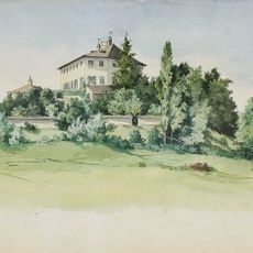
Wiesenfelden Castle
5.6 km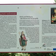
Burgstall Tiefenthal
4.8 km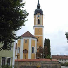
St. Laurentius
4.6 km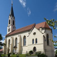
St. Michael
4.4 km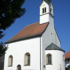
St. Matthäus
5 km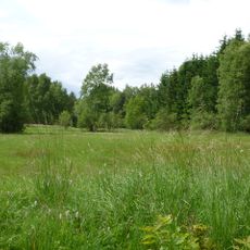
Brandmoos
3.8 km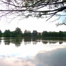
Weiherlandschaft bei Wiesenfelden
5.1 km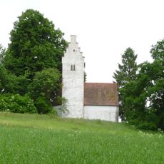
Katholische Filialkirche St. Rupertus
4.8 km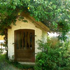
Wegkapelle
3.1 km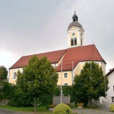
Mariä Himmelfahrt
5.4 km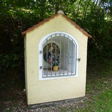
Wegkapelle
5 km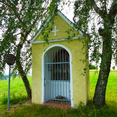
Votivkapelle 14 Nothelfer
5.1 km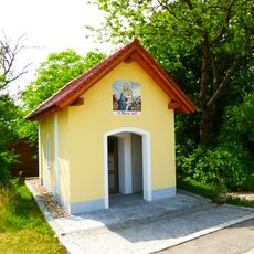
Wegkapelle St. Maria
254 m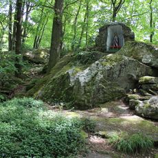
Grotte bei Wiesenfelden
5.6 km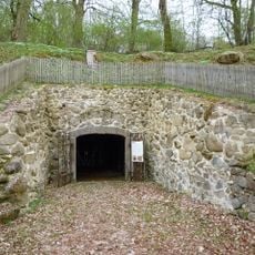
Felsenkeller
5.6 km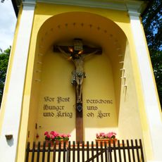
Kapelle
5.6 km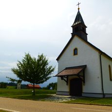
Nebenkirche
188 m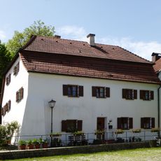
Wohnhaus
5.5 km
Ehem. Pfarrhaus
4.4 km
Wohnstallhaus
3.1 km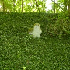
Steinkreuz
5.1 km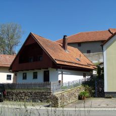
Kleinhaus
5.5 km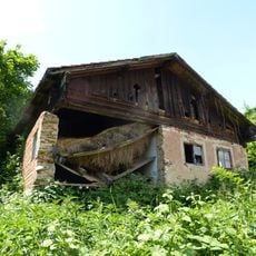
Kleinbauernhaus
5.5 km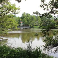
Weiher bei Wiesenfelden
5.4 km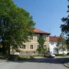
Ehemaliges Gerichtshalterhaus
5.5 km
Wohnhaus mit Mansarddach
5.6 km
Ehem. Weißbräuhaus
5.5 km
Ehem. Hofbäckerei
5.5 kmReviews
Visited this place? Tap the stars to rate it and share your experience / photos with the community! Try now! You can cancel it anytime.
Discover hidden gems everywhere you go!
From secret cafés to breathtaking viewpoints, skip the crowded tourist spots and find places that match your style. Our app makes it easy with voice search, smart filtering, route optimization, and insider tips from travelers worldwide. Download now for the complete mobile experience.

A unique approach to discovering new places❞
— Le Figaro
All the places worth exploring❞
— France Info
A tailor-made excursion in just a few clicks❞
— 20 Minutes