
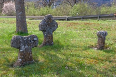
Steinkreuze bei Pappenheim, 14. Jahrhundert
Location: Pappenheim
Address: Staatsstraße 2230, an der Ausfahrt von der Staatsstraße
GPS coordinates: 48.92898,10.96446
Latest update: March 11, 2025 09:29
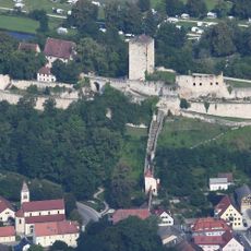
Burg Pappenheim
688 m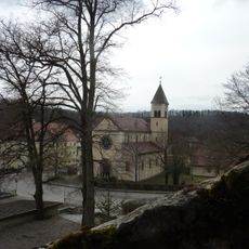
Mariä Himmelfahrt (Pappenheim)
652 m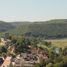
Alte Bürg
507 m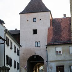
Oberes Tor
727 m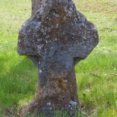
Steinkreuz 2 bei Pappenheim
3 m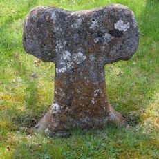
Steinkreuz 1 bei Pappenheim
12 m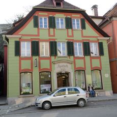
Ehemaliges Hofbeamtenhaus, seit 1802 Apotheke
811 m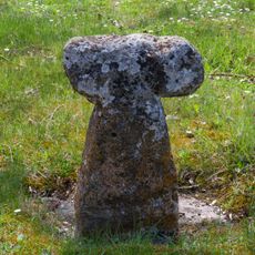
Steinkreuz 3 bei Pappenheim
7 m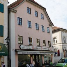
Bürgerhaus
843 m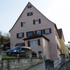
Ehemaliges Gräfenthaler Amtshaus
800 m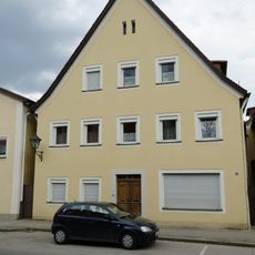
Bürgerhaus
834 m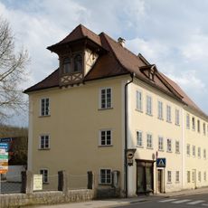
Wohnhaus
696 m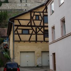
Ehemaliges Fachwerkscheune
764 m
Wohnhaus
847 m
Bürgerhaus
801 m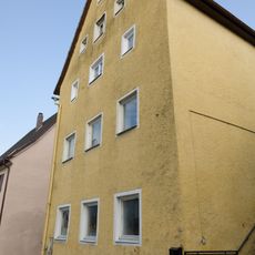
Ehemaliges Amtsknechtshaus
777 m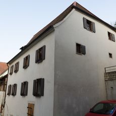
Ehemalige Büttelei
740 m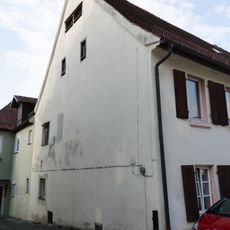
Wohnhaus des Baumeisters Johann Georg Steingruber
823 m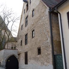
Kloster, ehemalige Augustinereremiten-Klosterkirche
749 m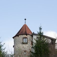
Turm
809 m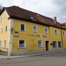
Gasthaus
719 m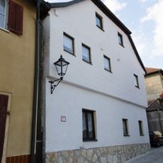
Ehemaliges Amtshaus
850 m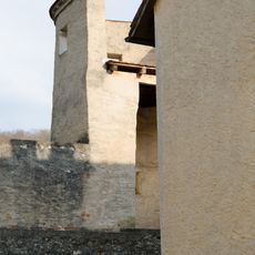
Hierzu Stadtmauer
258 m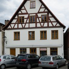
Bürgerhaus
808 m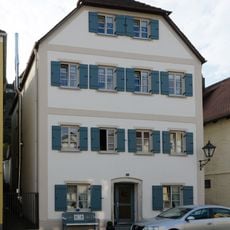
Bürgerhaus
797 m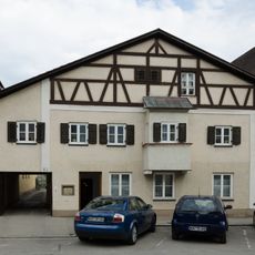
Wohnhaus
817 m
Bürgerhaus
803 m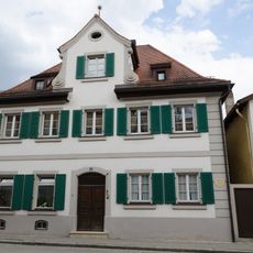
Ehemaliges Zinsmeisterhaus
852 mReviews
Visited this place? Tap the stars to rate it and share your experience / photos with the community! Try now! You can cancel it anytime.
Discover hidden gems everywhere you go!
From secret cafés to breathtaking viewpoints, skip the crowded tourist spots and find places that match your style. Our app makes it easy with voice search, smart filtering, route optimization, and insider tips from travelers worldwide. Download now for the complete mobile experience.

A unique approach to discovering new places❞
— Le Figaro
All the places worth exploring❞
— France Info
A tailor-made excursion in just a few clicks❞
— 20 Minutes