
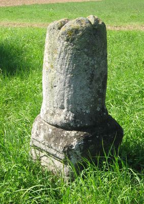
Grenz- und Vermessungsstein, 18. Jahrhundert
Location: Alesheim
Part of: political border
Address: Kreisstraße WUG 4, an der Straße nach Kattenhochstatt
GPS coordinates: 49.03030,10.87892
Latest update: March 24, 2025 06:13
Burg Berolzheim
3.2 km
St. Augustinus
4.6 km
Buchleite bei Markt Berolzheim
4.2 km
St. Michael
3.2 km
Oberes Schloss
3.6 km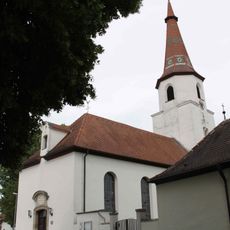
St. Vitus
3.1 km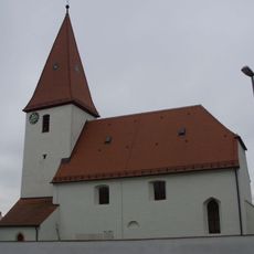
St. Emmeram Church
1.1 km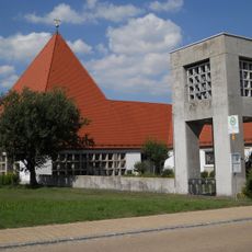
St. Hedwig
3.3 km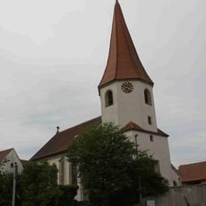
St. Hieronymus
3.8 km
St. Maria (Markt Berolzheim)
3.6 km
St. Magnus
2 km
St. Emmeram
2.3 km
St. Johannes
4.3 km
St. Ulrich zum Heiligen Kreuz
4.6 km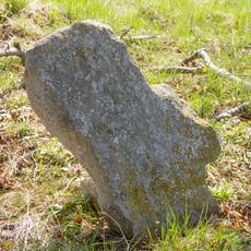
Kreuzstein
4.5 km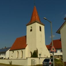
St. Margaretha
3.4 km
Bergkuppe des Bubenheimer Berges E von Bubenheim
4.7 km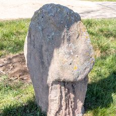
Steinkreuz bei Theilenhofen
4.3 km
Brücke An der Vogtei 2 in Ellingen
4.8 km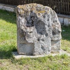
Kreuzstein in Holzingen
3.5 km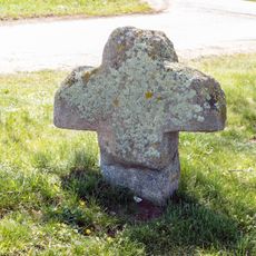
Steinkreuz bei Kattenhochstatt
1.6 km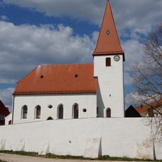
Friedhofsmauer Kirchstraße 11 in Alesheim
1.1 km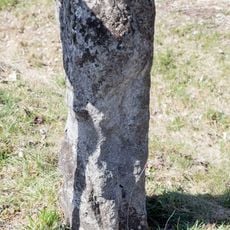
Steinkreuz bei Markt Berolzheim
3.3 km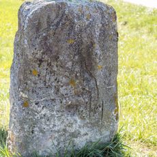
Kreuzstein bei Stopfenheim
4.4 km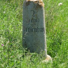
Entfernungsstein
1.4 km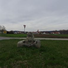
Flurdenkmal
1.1 km
Ehemaliger Alter Pfarrhof
4.7 km
Bauernhaus
4.7 kmReviews
Visited this place? Tap the stars to rate it and share your experience / photos with the community! Try now! You can cancel it anytime.
Discover hidden gems everywhere you go!
From secret cafés to breathtaking viewpoints, skip the crowded tourist spots and find places that match your style. Our app makes it easy with voice search, smart filtering, route optimization, and insider tips from travelers worldwide. Download now for the complete mobile experience.

A unique approach to discovering new places❞
— Le Figaro
All the places worth exploring❞
— France Info
A tailor-made excursion in just a few clicks❞
— 20 Minutes