
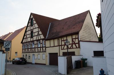
Ehemaliges Ackerbürgerhaus, building in Wassertrüdingen, Middle Franconia, Germany
Location: Wassertrüdingen
Address: Kapellgasse 2
GPS coordinates: 49.04033,10.59685
Latest update: March 12, 2025 03:22
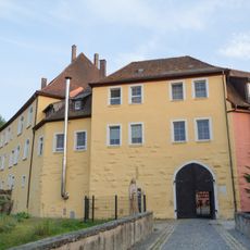
Schloss Wassertrüdingen
259 m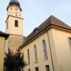
Dreieinigkeitskirche
164 m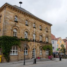
Town hall in Wassertrüdingen
71 m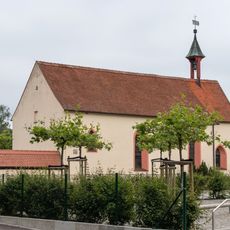
Evangelisch-lutherische Friedhofskapelle St. Johannis in Wassertrüdingen
522 m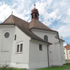
St. Wallburga
532 m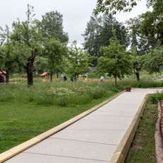
Klingenweiherpark
1.1 km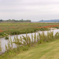
Wörnitzpark
422 m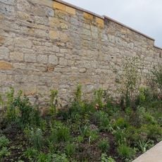
Stadtmauer Wassertrüdingen
133 m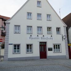
Sauergasse 1
62 m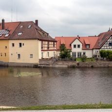
Stadtmühle
247 m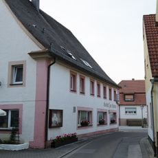
Gasthaus
248 m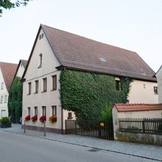
Ehemaliges Ackerbürgerhaus
180 m
Wohnhaus
107 m
Wohnhaus
98 m
Kirchgasse 3
123 m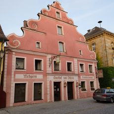
Gasthaus, genannt Zum Ochsen
67 m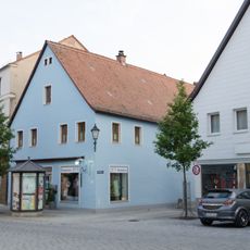
Wohn- und Geschäftshaus
33 m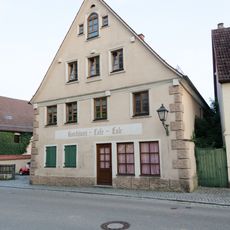
Hafenmarkt 8
160 m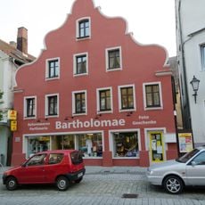
Wohn- und Geschäftshaus
43 m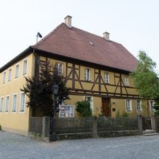
Evangelisch-Lutherisches Dekanatamt Wassertrüdingen
140 m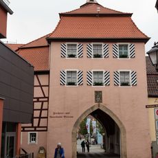
Oberes Tor
61 m
Wohnhaus
148 m
Ehemaliges Gasthaus Zur Krone
125 m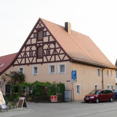
Wohnhaus
84 m
Wohnhaus
156 m
Stadtmauer
356 m
Mauerzug der Stadtbefestigung
69 m
Stadtbefestigung
356 mReviews
Visited this place? Tap the stars to rate it and share your experience / photos with the community! Try now! You can cancel it anytime.
Discover hidden gems everywhere you go!
From secret cafés to breathtaking viewpoints, skip the crowded tourist spots and find places that match your style. Our app makes it easy with voice search, smart filtering, route optimization, and insider tips from travelers worldwide. Download now for the complete mobile experience.

A unique approach to discovering new places❞
— Le Figaro
All the places worth exploring❞
— France Info
A tailor-made excursion in just a few clicks❞
— 20 Minutes