
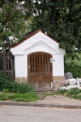
Wegkapelle, building in Röttenbach, Roth,Middle Franconia, Germany
Location: Röttenbach
Address: Im Ort schräg gegenüber von Unterbreitenlohe 1
GPS coordinates: 49.15889,10.98408
Latest update: March 7, 2025 19:12
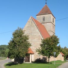
St. Stephan
3.2 km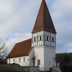
Catholic branch church Allmannsdorf
2.9 km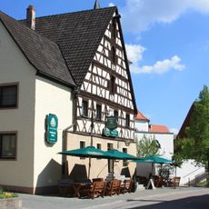
Gasthaus Schwarzer Adler
1.8 km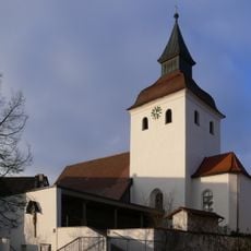
Pfarrkirche Mariä Heimsuchung
1.7 km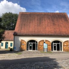
Infozentrum „Seenland - Wasser für Franken“
3.9 km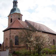
St. Michael (Großweingarten)
3.1 km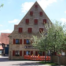
Gasthaus Rose
1.7 km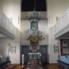
Sankt Georg (Georgensgmünd)
3.8 km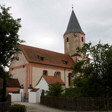
St. Ulrich
3.8 km
Schutz des Landschaftsraumes im Gebiet des Landkreises Roth - Südliches Mittelfränkisches Becken westlich der Schwäbischen Rezat und der Rednitz mit Spalter Hügelland, Abenberger Hügelgruppe und Heidenberg (LSG West)
2.2 km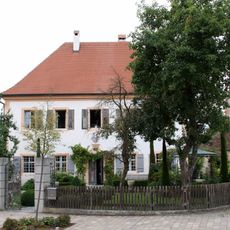
Ehemaliges Pfarrhaus
3.8 km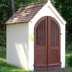
Wegkapelle
3 km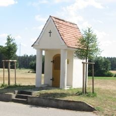
Wegkapelle
2.9 km
Katholische Ortskapelle
2.2 km
Wegkapelle
3.8 km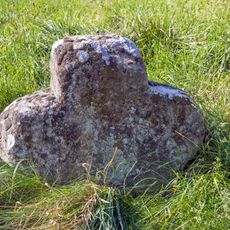
Steinkreuz bei Straßenhaus
2.4 km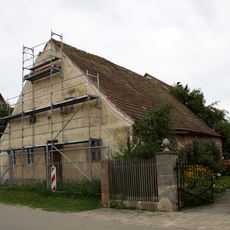
Wohnstallhaus
3.7 km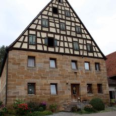
Bauernhaus
38 m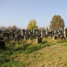
Jüdischer Friedhof
4 km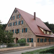
Dreiseithof; Bauernhaus
30 m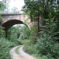
Eisenbahnviadukt der ehemaligen Ludwig-Süd-Nord-Eisenbahn
2 km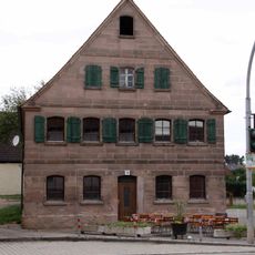
Ehemaliges Wohnstallhaus, ehemaliges Knechtshaus
3.6 km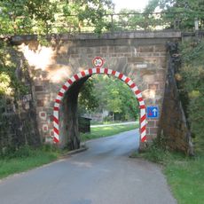
Eisenbahnbrücke der ehemaligen Ludwig-Süd-Nord-Eisenbahn
2.3 km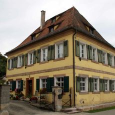
Ehemaliges Kastnerhaus, dann Forsthaus, jetzt Wohnhaus
3.7 km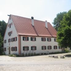
Mandlesmühle: Mühle, Mühl- und Wohngebäude
3.9 km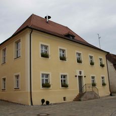
Ehemaliges Schulhaus
3.8 km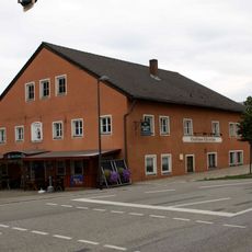
Ehemaliges Gasthaus
3.6 km
Bauernhaus
1.7 kmReviews
Visited this place? Tap the stars to rate it and share your experience / photos with the community! Try now! You can cancel it anytime.
Discover hidden gems everywhere you go!
From secret cafés to breathtaking viewpoints, skip the crowded tourist spots and find places that match your style. Our app makes it easy with voice search, smart filtering, route optimization, and insider tips from travelers worldwide. Download now for the complete mobile experience.

A unique approach to discovering new places❞
— Le Figaro
All the places worth exploring❞
— France Info
A tailor-made excursion in just a few clicks❞
— 20 Minutes