
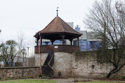
Stadtmauer, mit zwei runden Ecktürmen, im Kern 14. Jahrhundert; ehemalige Grabenzone der Stadtbefestigung; ''nicht nachqualifiziert''
Location: Schlüsselfeld
Address: Am Stadtgraben, dem Weg entlang der Stadtmauer
GPS coordinates: 49.75580,10.61800
Latest update: March 6, 2025 18:34
St. Ägidius
2.9 km
Schloss Fürstenforst
2.5 km
St. Johannes der Täufer
207 m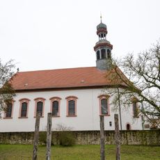
St. Marien
18 m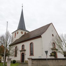
St. Bartholomäus
433 m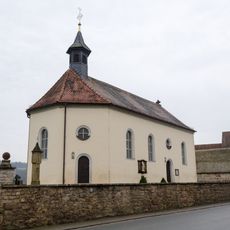
Filialkirche
864 m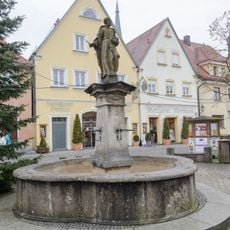
Marktbrunnen
129 m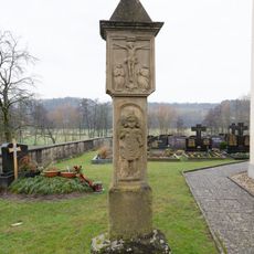
Bildstock
852 m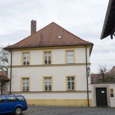
Pfarrhaus
269 m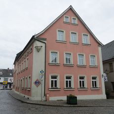
Wohnhaus
234 m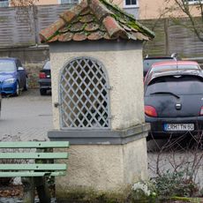
Heiligenhäuschen
314 m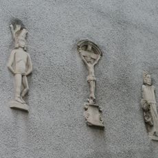
Heiligenfigur
235 m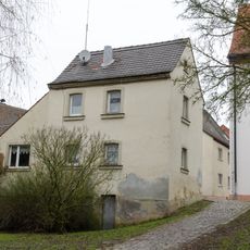
Cultural heritage D-4-71-220-114 in Schlüsselfeld
4 m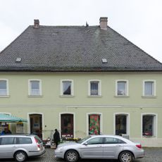
Postamt
100 m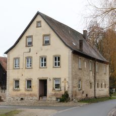
Mühle
39 m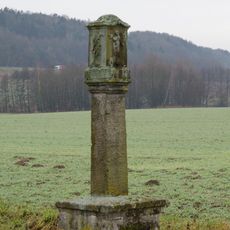
Bildstock
1.3 km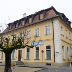
Schulgebäude
147 m
Cultural heritage D-4-71-220-19 in Schlüsselfeld
151 m
Rathaus
158 m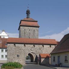
Vorwerk
171 m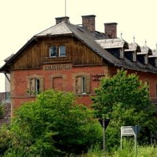
Schlüsselfeld station building
369 m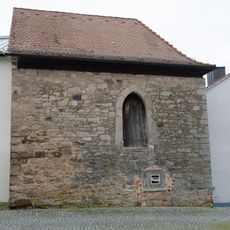
Beinhaus
228 m
Tropfhaus
224 m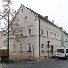
Wohnhaus
213 m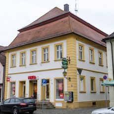
Marktplatz 10
99 m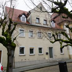
Cultural heritage D-4-71-220-16 in Schlüsselfeld
148 m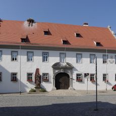
Amtshaus
156 m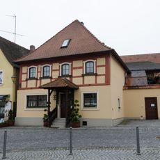
Cultural heritage D-4-71-220-10 in Schlüsselfeld
187 mReviews
Visited this place? Tap the stars to rate it and share your experience / photos with the community! Try now! You can cancel it anytime.
Discover hidden gems everywhere you go!
From secret cafés to breathtaking viewpoints, skip the crowded tourist spots and find places that match your style. Our app makes it easy with voice search, smart filtering, route optimization, and insider tips from travelers worldwide. Download now for the complete mobile experience.

A unique approach to discovering new places❞
— Le Figaro
All the places worth exploring❞
— France Info
A tailor-made excursion in just a few clicks❞
— 20 Minutes