
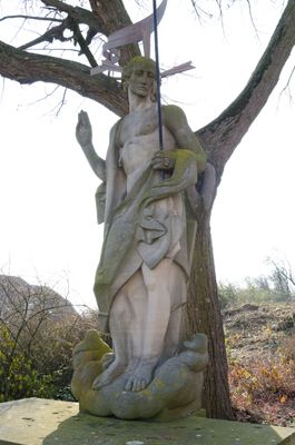
Kriegerdenkmal, cultural heritage monument D-6-73-141-238 (0) in Bad Königshofen im Grabfeld, Bavaria
Location: Bad Königshofen im Grabfeld
Address: Kirchenweg
GPS coordinates: 50.31099,10.52398
Latest update: March 5, 2025 20:44
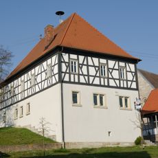
Rathaus
2.7 km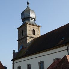
St. Wendelin (Eyershausen)
57 m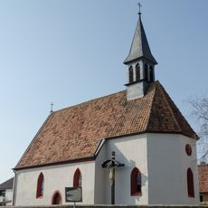
Kapelle
3 km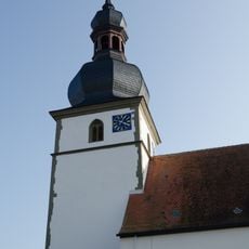
Saalkirche
2.6 km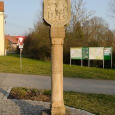
Bildstock
3 km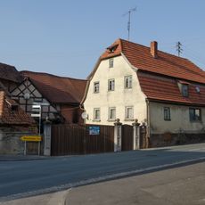
Wohnhaus
2.7 km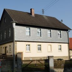
Dorfschule
2.6 km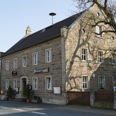
Gasthaus
240 m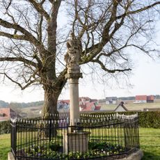
Mariensäule
2.7 km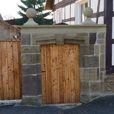
Hoftor
2.8 km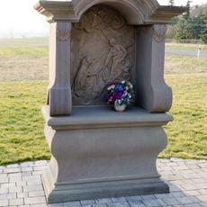
Bildstock
3 km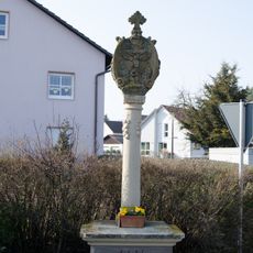
Bildstock
416 m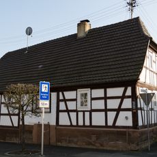
Bauernhaus
167 m
Wohnhaus
2.6 km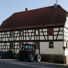
Bauernhof
3.1 km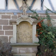
Bildstock
292 m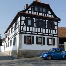
Wohnhaus
3 km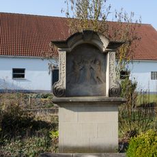
Bildstock
412 m
Pfarrhaus
2.6 km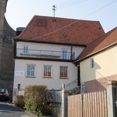
Dorfschule
40 m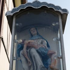
Heiligenfigur
208 m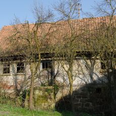
Wohnstallhaus
2.6 km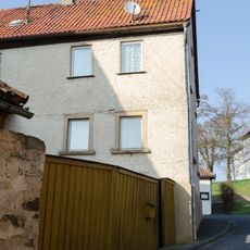
Bauernhaus
2.7 km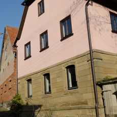
Bauernhaus
2.6 km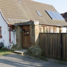
Hoftor
2.6 km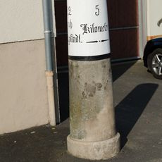
Meilenstein
310 m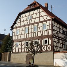
Bauernhaus
146 m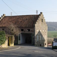
Gemeindebrauhaus
202 mReviews
Visited this place? Tap the stars to rate it and share your experience / photos with the community! Try now! You can cancel it anytime.
Discover hidden gems everywhere you go!
From secret cafés to breathtaking viewpoints, skip the crowded tourist spots and find places that match your style. Our app makes it easy with voice search, smart filtering, route optimization, and insider tips from travelers worldwide. Download now for the complete mobile experience.

A unique approach to discovering new places❞
— Le Figaro
All the places worth exploring❞
— France Info
A tailor-made excursion in just a few clicks❞
— 20 Minutes