
Bildstock in Uttstadt, rechteckiger Diamantsockel, gedrungener runder Schaft mit vierseitigem Aufsatz mit Rundbögen, Sandstein, bezeichnet „1718“
Location: Adelsdorf
Address: Von Aisch nach Lauf; 500 m nördlich des Ortes
GPS coordinates: 49.72115,10.90152
Latest update: March 3, 2025 03:00

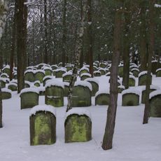
Jewish cemetery, Zeckern
3.1 km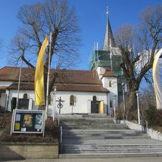
St. Laurentius
989 m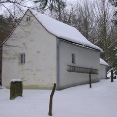
Taharahaus
3.1 km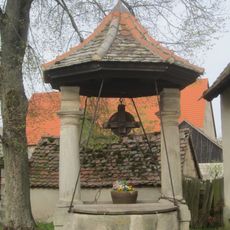
Dorfbrunnen Weppersdorf
1.6 km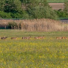
Feuchtwiesen Ziegenanger bei Neuhaus
3 km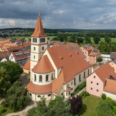
St. Stephanus
949 m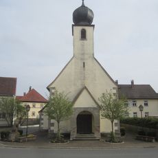
Kapelle in Weppersdorf (Adelsdorf)
1.6 km
Blumengasse 6 (Adelsdorf)
869 m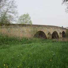
Aischbrücke in Weppersdorf
1.7 km
Schafgasse 3
962 m
Schafgasse 7
983 m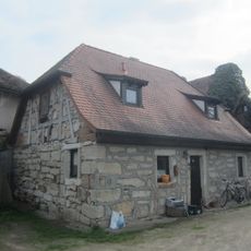
Blumengasse 8
854 m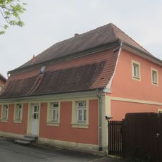
Erlanger Straße 14
949 m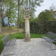
Marter bei Hauptstraße 23
880 m
Scheune
3.1 km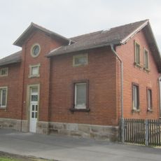
Erlanger Straße 16
958 m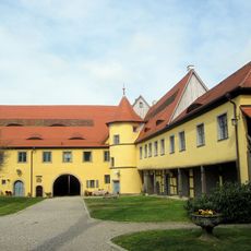
Schloss Adelsdorf
900 m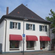
Hauptstraße 5
854 m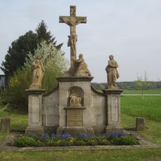
Kreuzgruppe in Weppersdorf
1.4 km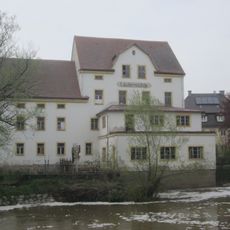
Laufer Mühle (Adelsdorf)
2.2 km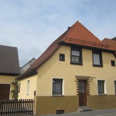
Höchstadter Straße 2
978 m
Höchstadter Straße 3
968 m
Alte Burgstraße 10
745 m
Weppersdorf 23
1.6 km
Weppersdorf 5 (Adelsdorf)
1.6 km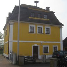
Weppersdorf 1 (Adelsdorf)
1.6 km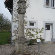
Marter in Lauf
2.2 km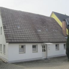
Hauptstraße 26
943 mReviews
Visited this place? Tap the stars to rate it and share your experience / photos with the community! Try now! You can cancel it anytime.
Discover hidden gems everywhere you go!
From secret cafés to breathtaking viewpoints, skip the crowded tourist spots and find places that match your style. Our app makes it easy with voice search, smart filtering, route optimization, and insider tips from travelers worldwide. Download now for the complete mobile experience.

A unique approach to discovering new places❞
— Le Figaro
All the places worth exploring❞
— France Info
A tailor-made excursion in just a few clicks❞
— 20 Minutes