
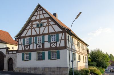
Bauernhaus, cultural heritage monument D-6-73-161-34 (0) in Salz (Unterfranken), Bavaria
Location: Salz (Unterfranken)
Address: Karolingerstraße 18; Karolingerstraße 20
GPS coordinates: 50.30949,10.20721
Latest update: March 9, 2025 12:00
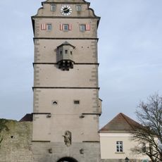
Gate tower
1.4 km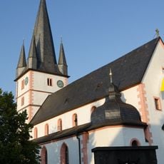
Mariä Himmelfahrt (Salz)
161 m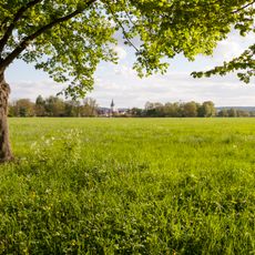
Saalewiesen zwischen Bad Neustadt und Salz
477 m
Stadthalle
1.3 km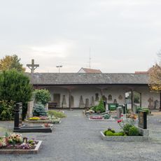
Cemetery
1.4 km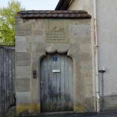
Kreuzschlepper
45 m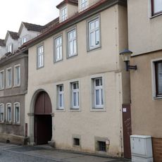
Ackerbürgerhaus
1.5 km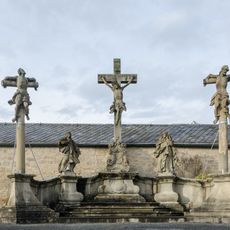
Kreuzigungsgruppe
1.3 km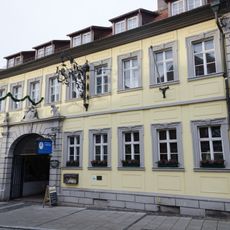
Gasthaus
1.4 km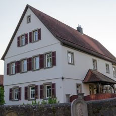
Pfarrhaus
119 m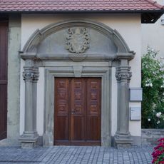
Säulenportal
78 m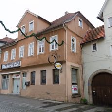
Hohnstraße
1.4 km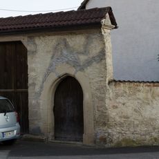
Hofmauer
106 m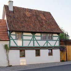
Bauernhaus
75 m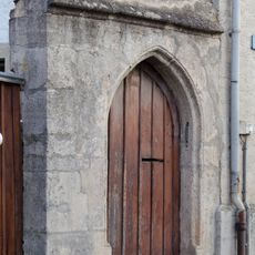
Pforte
235 m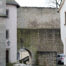
Wohnhaus
1.4 km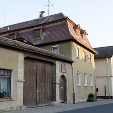
Bauernhaus
202 m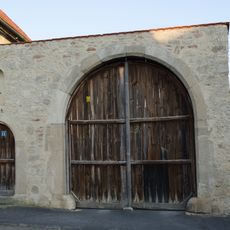
Hoftor
36 m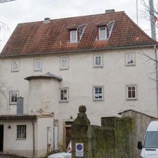
Krankenhaus
1.5 km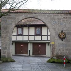
Hoftor
1.5 km
Friedhofsmauer
1.4 km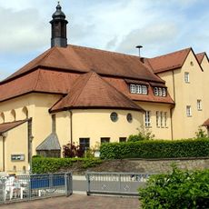
Kuratiekirche
1.3 km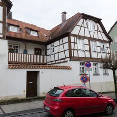
Dreiseithof
1.5 km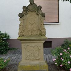
Prozessionsaltar
88 m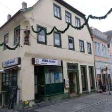
Wohn- und Geschäftshaus
1.5 km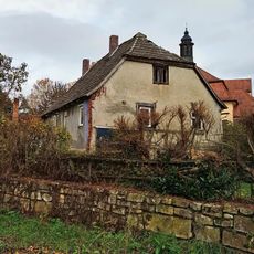
Bauernhaus
1.3 km
Wohnhaus
182 m
Bürgerhaus
1.5 kmReviews
Visited this place? Tap the stars to rate it and share your experience / photos with the community! Try now! You can cancel it anytime.
Discover hidden gems everywhere you go!
From secret cafés to breathtaking viewpoints, skip the crowded tourist spots and find places that match your style. Our app makes it easy with voice search, smart filtering, route optimization, and insider tips from travelers worldwide. Download now for the complete mobile experience.

A unique approach to discovering new places❞
— Le Figaro
All the places worth exploring❞
— France Info
A tailor-made excursion in just a few clicks❞
— 20 Minutes