
Ehem. Bauernanwesen, ehem. Bauernanwesen, stattlicher Zweiflügel-Eckbau mit Walmdächern, 1. Hälfte 19. Jahrhundert
Location: Hofkirchen
Address: Marktplatz 17
GPS coordinates: 48.67779,13.11585
Latest update: June 18, 2025 21:06
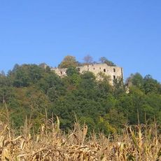
Burgruine Hilgartsberg
3.3 km
Museum Quintana
2.9 km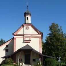
Wallfahrtskirche Handlab
5 km
Burgruine Dobl
4.2 km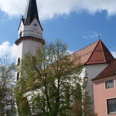
Pfarrkirche Mariä Himmelfahrt
129 m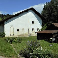
Ehem. Schloss
2.8 km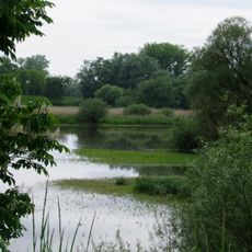
Donaualtwasser Winzerer Letten
6 km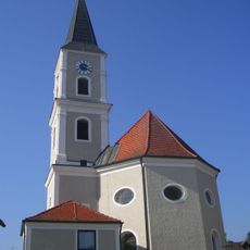
St. Georg
5.7 km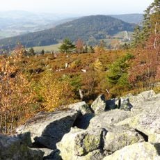
LSG Bayerischer Wald
4.6 km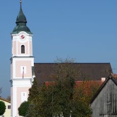
St. Laurentius
2.7 km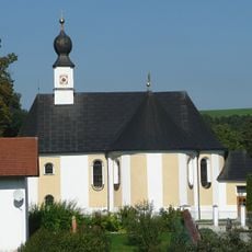
Maria Heimsuchung
4.3 km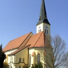
Sacred Heart Church
5.7 km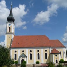
St. Stephan
2.1 km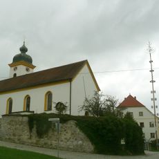
Katholische Pfarrkirche St. Peter und Paul
1.8 km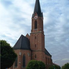
St. Josef
5.5 km
Katholische Wallfahrtskapelle Maria Hilf
2.3 km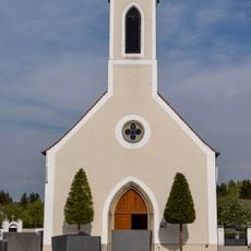
Katholische Friedhofskapelle St. Stephan
2.1 km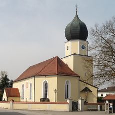
Expositurkirche
4.5 km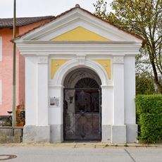
Katholische Dreifaltigkeitskapelle
2.1 km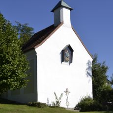
Katholische Wallfahrtskapelle, sogenannte Bründlkapelle
5.4 km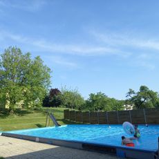
Freibad Garham
5.8 km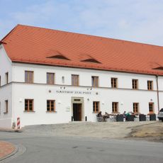
Gasthof Post
5.8 km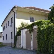
Ehemaliger Klosteramtshof
2.7 km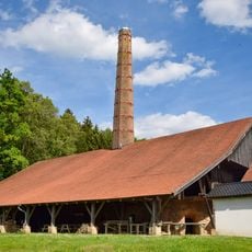
Ehemaliges Kalkwerk, seit 1996 Ziegel- und Kalkmuseum
4.1 km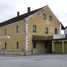
Gasthof
2 km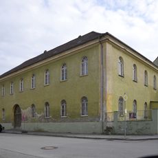
Ehemaliger Brauereigasthof
2 km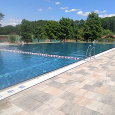
Freibad Hofkirchen
360 m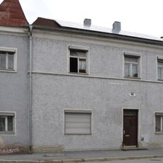
Wohnhaus
1.9 kmReviews
Visited this place? Tap the stars to rate it and share your experience / photos with the community! Try now! You can cancel it anytime.
Discover hidden gems everywhere you go!
From secret cafés to breathtaking viewpoints, skip the crowded tourist spots and find places that match your style. Our app makes it easy with voice search, smart filtering, route optimization, and insider tips from travelers worldwide. Download now for the complete mobile experience.

A unique approach to discovering new places❞
— Le Figaro
All the places worth exploring❞
— France Info
A tailor-made excursion in just a few clicks❞
— 20 Minutes