
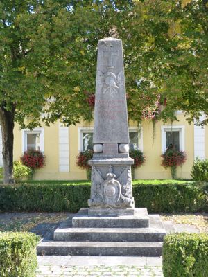
Kriegerdenkmal für 1866 und 1870/71, obelisk auf Inschriftsockel mit Wappenkartusche, und Kugeln, Kalkstein, bez. 1901
Location: Pfatter
Address: Marktplatz
GPS coordinates: 48.96510,12.38200
Latest update: March 2, 2025 22:48
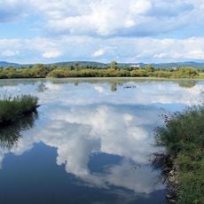
Pfatterer Au
1.2 km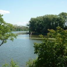
Gmünder Au
3.9 km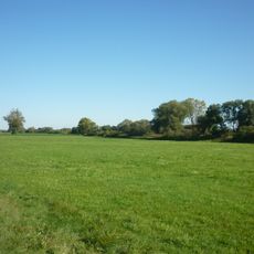
Stöcklwörth
1.4 km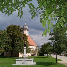
St. Nikolaus
696 m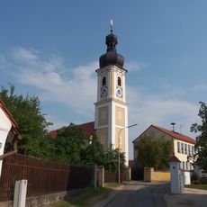
Mariä Geburt (Geisling)
4.1 km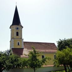
St. Jakobus
4 km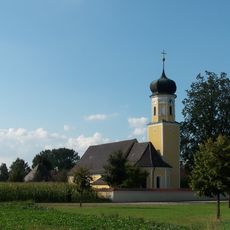
Kath. Expositurkirche St. Georg
3.7 km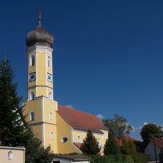
Kath. Pfarrkirche Mariä Himmelfahrt
78 m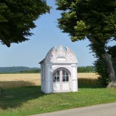
Wegkapelle, sog. Stadlerkapelle
3.7 km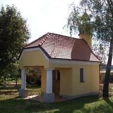
Hofkapelle
2.1 km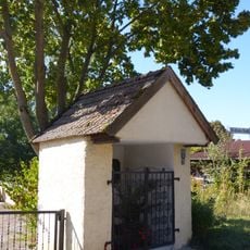
Wegkapelle Hl. Dreifaltigkeit
4 km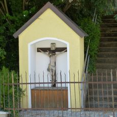
Wegkapelle
4 km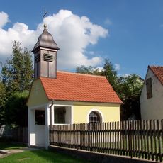
Dorfkapelle
3.2 km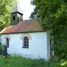
Hofkapelle
2.7 km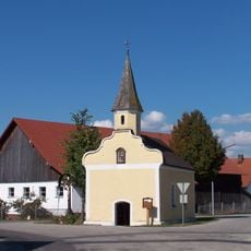
Kath. Nebenkirche St. Leonhard
3 km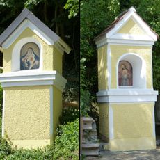
Zwei Kapellenbildstöcke
4.1 km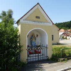
Wegkapelle
3.8 km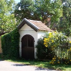
Wegkapelle
319 m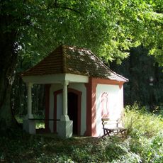
Wegkapelle
2.9 km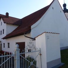
Bauernhaus
4.1 km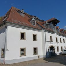
Gasthaus
28 m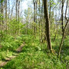
Wälder im Donautal
3.9 km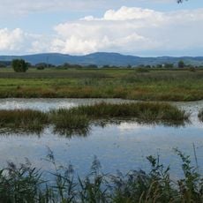
Alte Donau WSW von Pfatter
1.5 km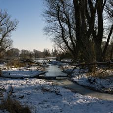
Donau und Altwässer zwischen Regensburg und Straubing
1.5 km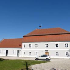
Pfarrhaus
4.1 km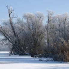
Donau zwischen Regensburg und Straubing
1.1 km
Ehem. Gasthaus
156 m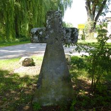
Steinkreuz
3.5 kmReviews
Visited this place? Tap the stars to rate it and share your experience / photos with the community! Try now! You can cancel it anytime.
Discover hidden gems everywhere you go!
From secret cafés to breathtaking viewpoints, skip the crowded tourist spots and find places that match your style. Our app makes it easy with voice search, smart filtering, route optimization, and insider tips from travelers worldwide. Download now for the complete mobile experience.

A unique approach to discovering new places❞
— Le Figaro
All the places worth exploring❞
— France Info
A tailor-made excursion in just a few clicks❞
— 20 Minutes