
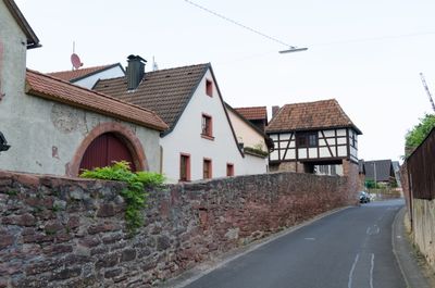
Reste der Ortsmauer, 16. Jahrhundert; ''nicht nachqualifiziert''
Location: Thüngersheim
Address: Oberer Graben 30, Obere Hauptstraße 53 und 55, Friedhofstraße 1
GPS coordinates: 49.87893,9.84356
Latest update: March 23, 2025 12:05
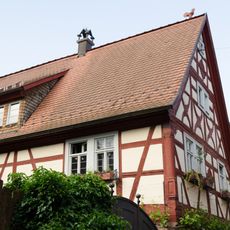
Wohnhaus
172 m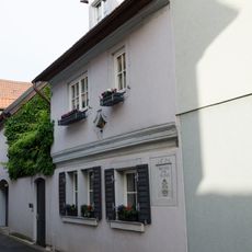
Wohnhaus
140 m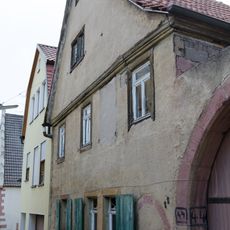
Wohnhaus
216 m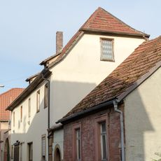
Wohnhaus
152 m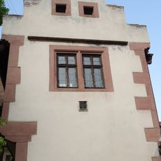
Rathaus
141 m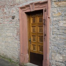
Pforte
170 m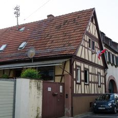
Wohnhaus
157 m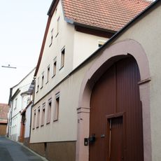
Wohnhaus
172 m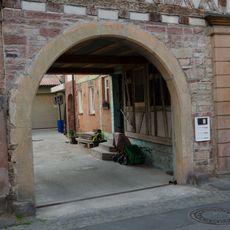
Tordurchfahrt
170 m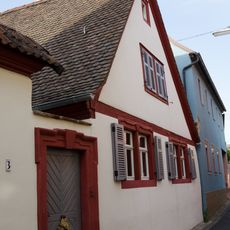
Wohnhaus
120 m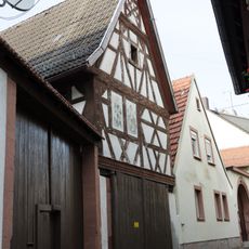
Nebengebäude
74 m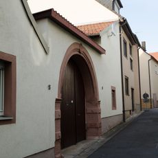
Hoftor
62 m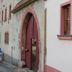
Hoftor
45 m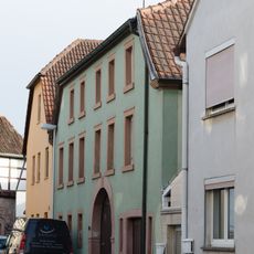
Wohnhaus
36 m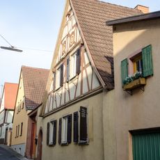
Wohnhaus
105 m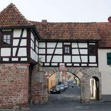
Tor
18 m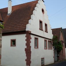
Wohnhaus
124 m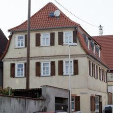
Wohnhaus
100 m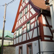
Wohnstallhaus
87 m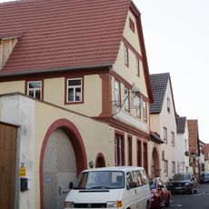
Wohnhaus
121 m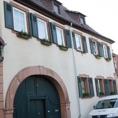
Wohnhaus
168 m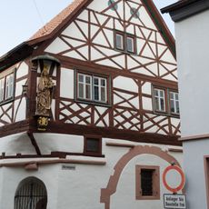
Wohnhaus
162 m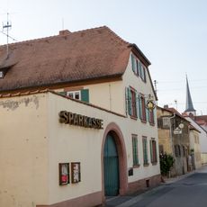
Wohnhaus
189 m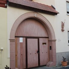
Hoftor
125 m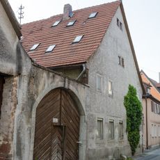
Wohnhaus
170 m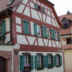
Künstlerhaus
167 m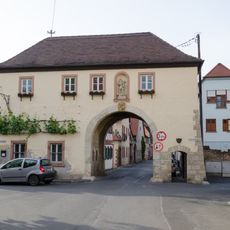
Tor
157 m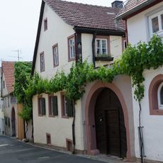
Wohnhaus
213 mReviews
Visited this place? Tap the stars to rate it and share your experience / photos with the community! Try now! You can cancel it anytime.
Discover hidden gems everywhere you go!
From secret cafés to breathtaking viewpoints, skip the crowded tourist spots and find places that match your style. Our app makes it easy with voice search, smart filtering, route optimization, and insider tips from travelers worldwide. Download now for the complete mobile experience.

A unique approach to discovering new places❞
— Le Figaro
All the places worth exploring❞
— France Info
A tailor-made excursion in just a few clicks❞
— 20 Minutes