
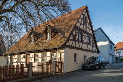
Wohnhaus, building in Herzogenaurach, Middle Franconia, Germany
Location: Herzogenaurach
Address: Zum Voltensteg 4
GPS coordinates: 49.56133,10.91367
Latest update: April 5, 2025 06:14

St. Magdalena
2.4 km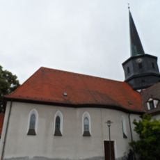
St. Josef
146 m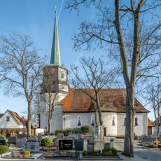
Katholische Pfarrkirche St.Josef
144 m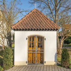
Wegkapelle
755 m
Aurachtal
1.8 km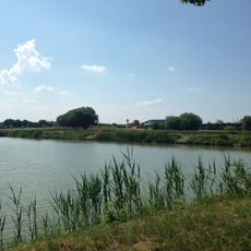
Klosterwald mit Lobersweihern und dem Grünzug westlich des Ortsteiles Neuses
1.8 km
Hintere Gasse 2
2.3 km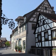
Hauptstraße 14
2.4 km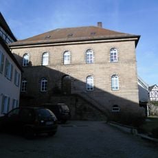
Kirchenplatz 4
2.3 km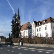
Liebfrauenhaus
1.9 km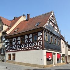
Hauptstraße 10
2.4 km
Hauptstraße 4
2.3 km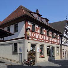
Hauptstraße 6
2.3 km
Hauptstraße 23
2.4 km
Hauptstraße 15
2.4 km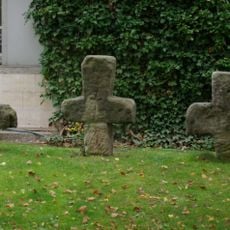
Drei Steinkreuze
2.3 km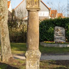
Martersäule
753 m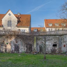
Hierzu Böschungsmauer mit schrägen Streben
63 m
Ehemaliges Spital
2.3 km
Steinkreuz in Niederndorf
109 m
Fehnturm
2.4 km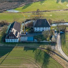
Mühle
966 m
Kirchenplatz 11
2.4 km
Marktplatz 6 (Herzogenaurach)
2.4 km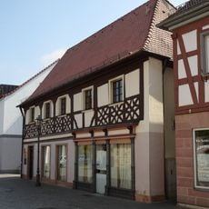
Hauptstraße 3
2.3 km
Hauptstraße 7
2.3 km
Kirchenplatz 6
2.3 km
Erlanger Straße 5
2.2 kmReviews
Visited this place? Tap the stars to rate it and share your experience / photos with the community! Try now! You can cancel it anytime.
Discover hidden gems everywhere you go!
From secret cafés to breathtaking viewpoints, skip the crowded tourist spots and find places that match your style. Our app makes it easy with voice search, smart filtering, route optimization, and insider tips from travelers worldwide. Download now for the complete mobile experience.

A unique approach to discovering new places❞
— Le Figaro
All the places worth exploring❞
— France Info
A tailor-made excursion in just a few clicks❞
— 20 Minutes