
Kreuzbachbrücke, Bogenbrücke aus Sandstein, bez. „1853“In der Bayerische Denkmalliste fälschlich dem Ludwig-Donau-Main-Kanal, 1836-1845, zugeordnet. Der einzige Bezug des Kanals zu dieser Brücke ist sein ehemaliger Verlauf in der Nähe
Location: Baiersdorf
Address: Am Breiten Sand; Kreuzbach
GPS coordinates: 49.67375,11.04675
Latest update: March 9, 2025 02:15

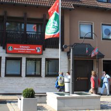
Schamel Meerrettich
2.1 km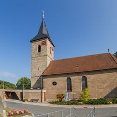
Pfarrkirche
1.9 km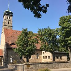
St. Josef (Baiersdorf)
1.7 km
Kirche
1.8 km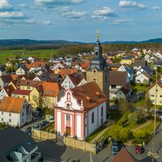
Pfarrkirche
1.9 km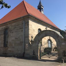
Friedhofskapelle (Baiersdorf)
1.9 km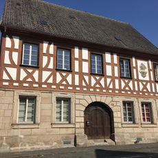
Evangelisch-lutherisches Pfarrhaus
2.1 km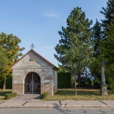
Wegkapelle
2.1 km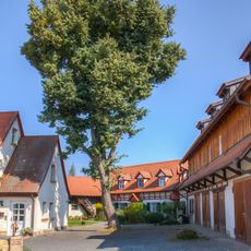
Bauernhaus
1.9 km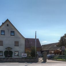
Hoftor
1.9 km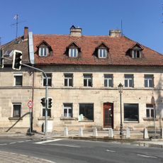
Wohnhaus
2.2 km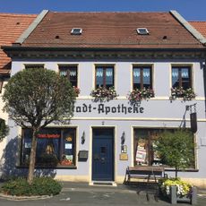
Apotheke
2.2 km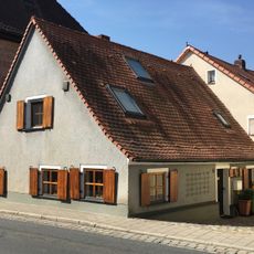
Kleinhaus
1.9 km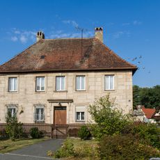
Pfarrhaus
1.9 km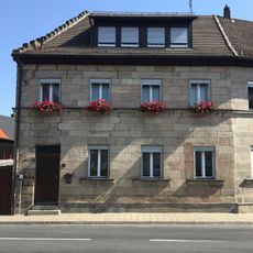
Wohnhaus
2.2 km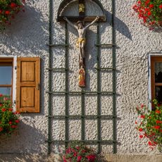
Kreuz
2.1 km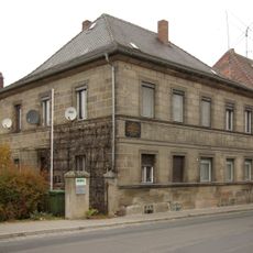
Forchheimer Straße 3
2 km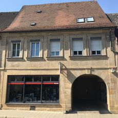
Wohnhaus
2 km
Wohnhaus
2.1 km
Wohn- und Geschäftshaus, wohl ehemalige Privatsynagoge mit Mikwe
2.1 km
Marter
2.1 km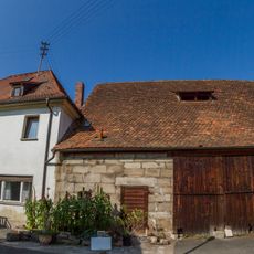
Forsthaus
2.1 km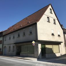
Wohnhaus
2.1 km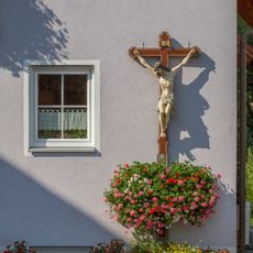
Kreuz
2 km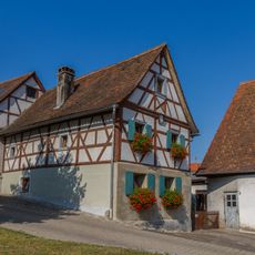
Bauernhaus
1.9 km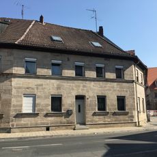
Wohnhaus
2.2 km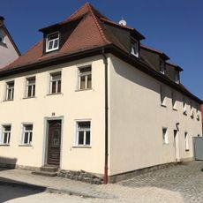
Wohnhaus
2 km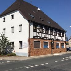
Ehemaliges Gasthaus Prater
1.9 kmReviews
Visited this place? Tap the stars to rate it and share your experience / photos with the community! Try now! You can cancel it anytime.
Discover hidden gems everywhere you go!
From secret cafés to breathtaking viewpoints, skip the crowded tourist spots and find places that match your style. Our app makes it easy with voice search, smart filtering, route optimization, and insider tips from travelers worldwide. Download now for the complete mobile experience.

A unique approach to discovering new places❞
— Le Figaro
All the places worth exploring❞
— France Info
A tailor-made excursion in just a few clicks❞
— 20 Minutes