
Bauernhof, eingeschossiger Wohnstallbau, um 1800
Location: Weißenstadt
Address: In Voitsumra
GPS coordinates: 50.09389,11.84803
Latest update: May 8, 2025 17:45
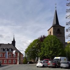
St. James (Weißenstadt)
2.7 km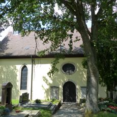
Cemetery church Holy Trinity (Weißenstadt)
2.5 km
Zellerfels
2.8 km
Grabmal
2.5 km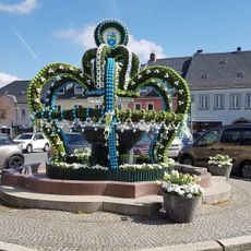
Kurpark
2.5 km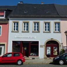
Cultural heritage D-4-79-166-17 in Weißenstadt
2.8 km
Kommunbackhaus
2.7 km
Villa
2.6 km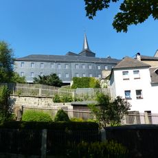
Schulgebäude
2.7 km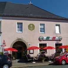
Baudenkmal
2.8 km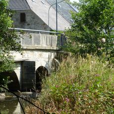
Bogenbrücke
3 km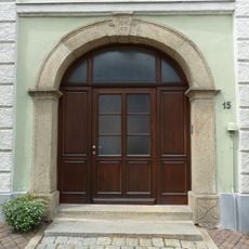
Cultural heritage D-4-79-166-12 in Weißenstadt
2.9 km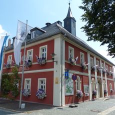
Rathaus
2.8 km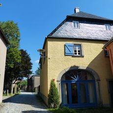
Scheune
2.8 km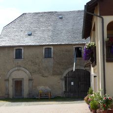
Scheune
88 m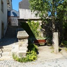
Stadtbefestigung
2.7 km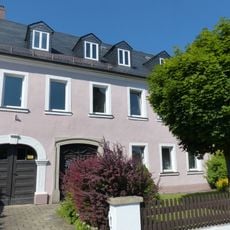
Cultural heritage D-4-79-166-18 in Weißenstadt
2.8 km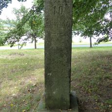
Meilenstein
1.8 km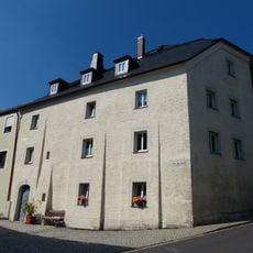
Cultural heritage D-4-79-166-20 in Weißenstadt
2.7 km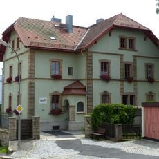
Forstamt
2.9 km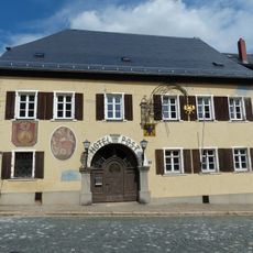
Gasthaus
2.8 km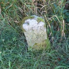
Gedenkstein
2.5 km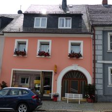
Cultural heritage D-4-79-166-26 in Weißenstadt
2.8 km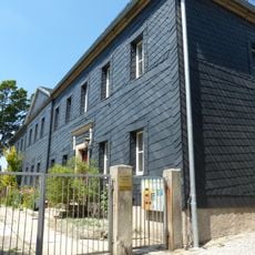
Pfarrhaus
2.7 km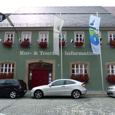
Ehemaliger Gasthof Goldener Löwe
2.8 km
Gefelderte Torbogenrahmung
2.8 km
Cultural heritage D-4-79-166-25 in Weißenstadt
2.8 km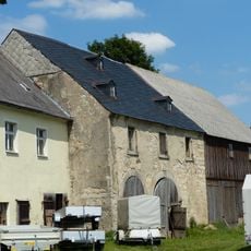
Scheune
40 mReviews
Visited this place? Tap the stars to rate it and share your experience / photos with the community! Try now! You can cancel it anytime.
Discover hidden gems everywhere you go!
From secret cafés to breathtaking viewpoints, skip the crowded tourist spots and find places that match your style. Our app makes it easy with voice search, smart filtering, route optimization, and insider tips from travelers worldwide. Download now for the complete mobile experience.

A unique approach to discovering new places❞
— Le Figaro
All the places worth exploring❞
— France Info
A tailor-made excursion in just a few clicks❞
— 20 Minutes