
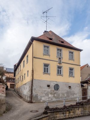
Bauernhaus, cultural heritage monument D-4-71-207-8 (0) in Viereth-Trunstadt, Bavaria
Location: Viereth-Trunstadt
Address: Weiherer Straße 10
GPS coordinates: 49.92196,10.77631
Latest update: April 20, 2025 03:22
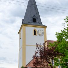
Filialkirche
3 km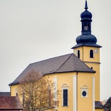
Pfarrkirche
1.9 km
Mainbrücke Viereth
509 m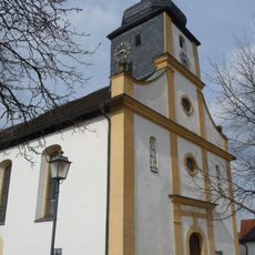
Kirche
102 m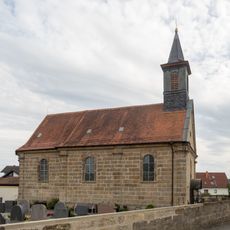
Kuratiekirche St. Barbara (Unterhaid)
1.9 km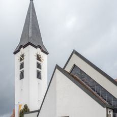
Kirche
3.1 km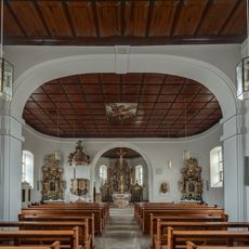
Filialkirche
2.2 km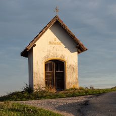
Wegkapelle
819 m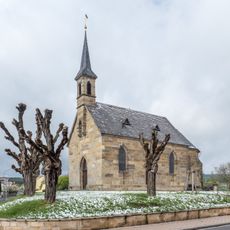
Kirche
3.4 km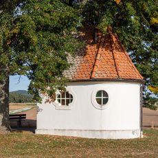
Feldkapelle
1.6 km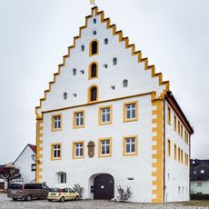
Schloss
2 km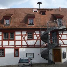
Cultural heritage D-4-71-207-5 in Viereth-Trunstadt
89 m
Altwässer an der Regnitzmündung bei Bamberg und bei Viereth
3.1 km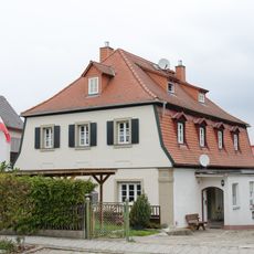
Wohnhaus
3.9 km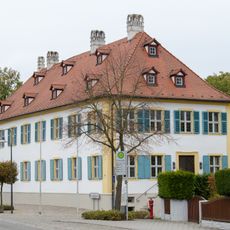
Schloss
3.8 km
Kellergasse (Unterhaid)
2.2 km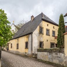
Mühlrad
3 km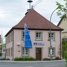
Bürgerzentrum
3.1 km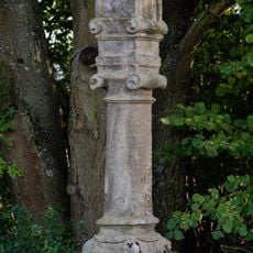
Bildstock
2 km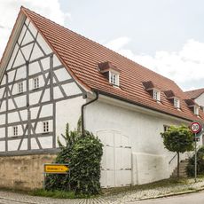
Bauernhaus
1.9 km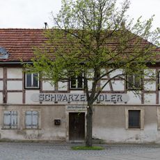
Gasthaus
3.1 km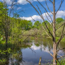
Seelaub
3.9 km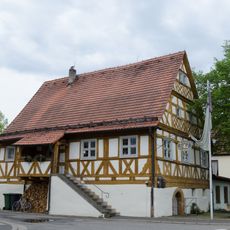
Rathaus
1.7 km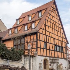
Cultural heritage D-4-71-207-7 in Viereth-Trunstadt
29 m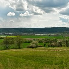
Maintalhänge um Viereth-Trunstadt und Oberhaid
2 km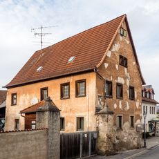
Gutshaus
163 m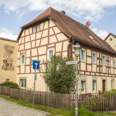
Baudenkmal
2 km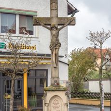
Wegkreuz
3.1 kmReviews
Visited this place? Tap the stars to rate it and share your experience / photos with the community! Try now! You can cancel it anytime.
Discover hidden gems everywhere you go!
From secret cafés to breathtaking viewpoints, skip the crowded tourist spots and find places that match your style. Our app makes it easy with voice search, smart filtering, route optimization, and insider tips from travelers worldwide. Download now for the complete mobile experience.

A unique approach to discovering new places❞
— Le Figaro
All the places worth exploring❞
— France Info
A tailor-made excursion in just a few clicks❞
— 20 Minutes