
Felsenschlucht, in die Wände der sogenannten Felsenschlucht eingetiefte, gewölbte Räume, 17./18. Jahrhundert
Location: Deining
Elevation above the sea: 480 m
Length: 120 m
Width: 10 m
Address: Untere Hauptstraße 10
GPS coordinates: 49.22250,11.54165
Latest update: March 6, 2025 02:36

St. Jakobus der Ältere
3.4 km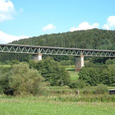
Laberviadukt
2.3 km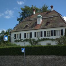
Schloss Deining
376 m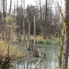
Weiße Laaber bei Waltersberg
3.9 km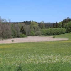
Tal der Weißen Laaber bei Deining
1.5 km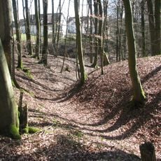
Burgstall Rothenfels
3.8 km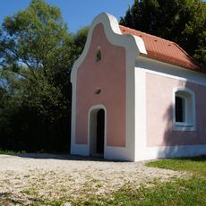
St. Ulrich (Deining)
2.7 km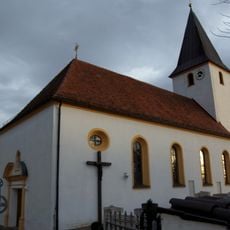
St.-Alban-Kirche
4.6 km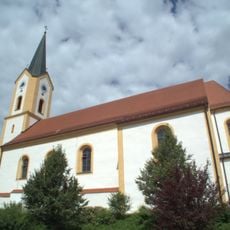
St. Willibald
322 m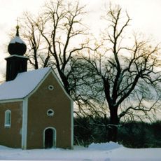
Kapelle St. Georg
4.7 km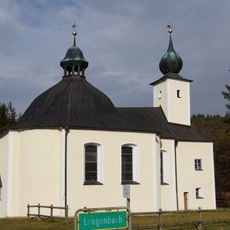
Wallfahrtskirche Maria Hilf
4.1 km
St. Ägidius
4.4 km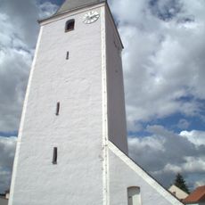
St. Martin (Leutenbach)
2 km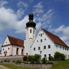
St. Vitus
4.2 km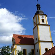
St. Leonhard
4.8 km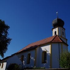
St. Andreas
3.7 km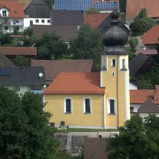
St. Nikolaus
2.4 km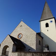
St. Pankratius
1.9 km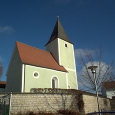
St. Maria
2.2 km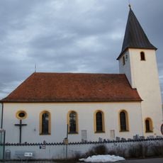
St. Alban
4.6 km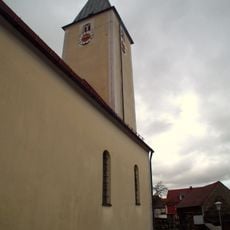
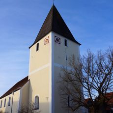
St. Matthias
1.3 km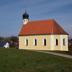
Cultural heritage D-3-6735-0125 in Velburg
4.4 km
Mühlengebäude
4.6 km
Ehemaliges Wohnstallhaus
4.2 km
Ehemaliges Pfarrhaus
4.2 km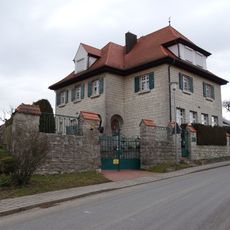
Ehemaliges Schulhaus
4.6 km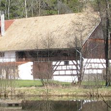
Stadel
2.2 km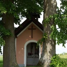
Marienkapelle Leutenbach
2.4 kmReviews
Visited this place? Tap the stars to rate it and share your experience / photos with the community! Try now! You can cancel it anytime.
Discover hidden gems everywhere you go!
From secret cafés to breathtaking viewpoints, skip the crowded tourist spots and find places that match your style. Our app makes it easy with voice search, smart filtering, route optimization, and insider tips from travelers worldwide. Download now for the complete mobile experience.

A unique approach to discovering new places❞
— Le Figaro
All the places worth exploring❞
— France Info
A tailor-made excursion in just a few clicks❞
— 20 Minutes