
Stadel, eingeschossiger Bruchsteinbau mit Krüppelwalmdach und Fachwerkgiebel, 18./19. Jahrhundert
Location: Vilseck
Address: Auf dem Ziegelanger
GPS coordinates: 49.61118,11.80370
Latest update: March 3, 2025 07:30
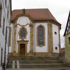
St. Ägidius
280 m
Vilstor
260 m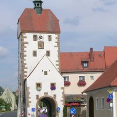
Vogelturm
162 m
Pfarrhaus
305 m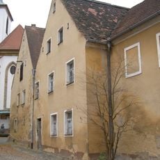
Ehemaliges Kaplanhaus
315 m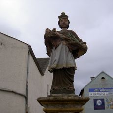
Nepomuk
149 m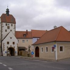
Zollhaus (Vilseck)
145 m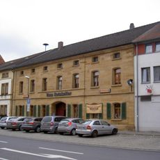
Wohnhaus
216 m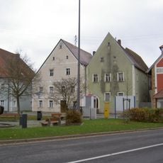
Wohnhaus
306 m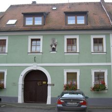
Vilseck Herrengasse 7
248 m
Wohnhaus
255 m
Vilseck Kirchgasse 2
196 m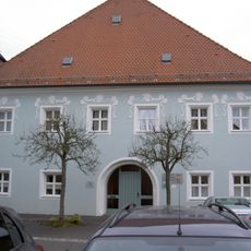
Hofanlage, sogenannter Hammerhof
294 m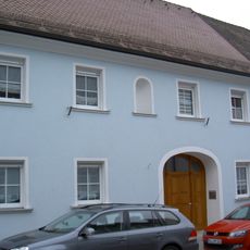
Ehemaliges Gasthaus
232 m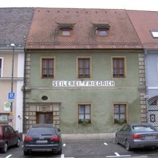
Wohnhaus
136 m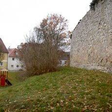
City walls of Vilseck
266 m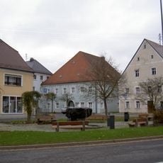
Wohnhaus
299 m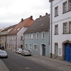
Gasthaus
237 m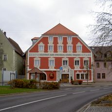
Gasthof
313 m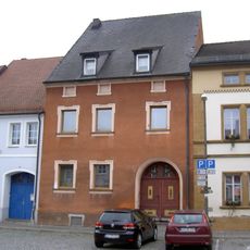
Ehemaliges Ackerbürgerhaus
247 m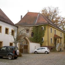
Vilseck Klostergasse 11
318 m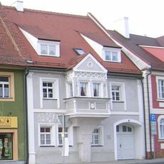
Wohnhaus, sogenanntes Wünnenberghaus
216 m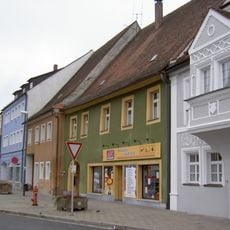
Ehemaliges Ackerbürgerhaus
205 m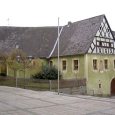
Frühmesshaus
245 m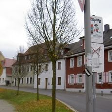
Wohnhaus
268 m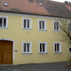
Ackerbürgerhaus
246 m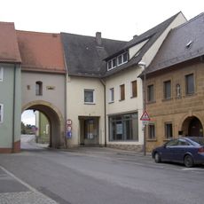
Ehemaliges Ackerbürgerhaus
89 m
Vorstadttor, sogenanntes Hafnertor
102 mReviews
Visited this place? Tap the stars to rate it and share your experience / photos with the community! Try now! You can cancel it anytime.
Discover hidden gems everywhere you go!
From secret cafés to breathtaking viewpoints, skip the crowded tourist spots and find places that match your style. Our app makes it easy with voice search, smart filtering, route optimization, and insider tips from travelers worldwide. Download now for the complete mobile experience.

A unique approach to discovering new places❞
— Le Figaro
All the places worth exploring❞
— France Info
A tailor-made excursion in just a few clicks❞
— 20 Minutes