
Wegkreuz, gusseisen, auf Kalksteinsockel, zweite Hälfte 19. Jahrhundert
Location: Vilseck
Address: Nähe Bahnhofstraße
GPS coordinates: 49.61358,11.80216
Latest update: April 11, 2025 21:31
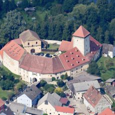
Burg Dagestein
475 m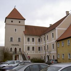
Vilstor
289 m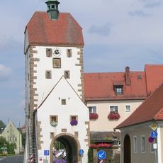
Vogelturm
354 m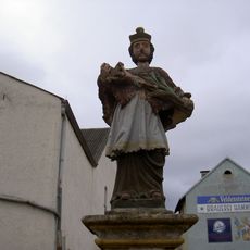
Nepomuk
359 m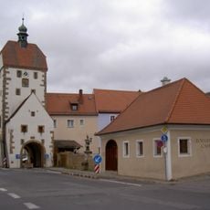
Zollhaus (Vilseck)
362 m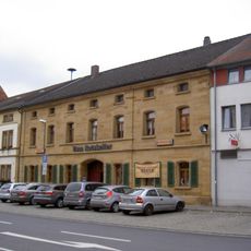
Wohnhaus
374 m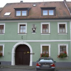
Vilseck Herrengasse 7
303 m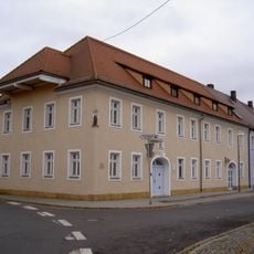
Vilseck Breite Gasse 1
441 m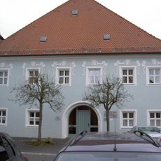
Hofanlage, sogenannter Hammerhof
351 m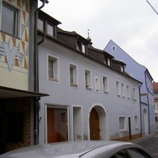
Vilseck Kirchgasse 2
392 m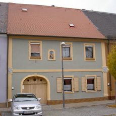
Ehemaliges Ackerbürgerhaus
478 m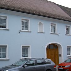
Ehemaliges Gasthaus
445 m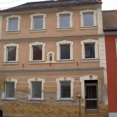
Wohnhaus
330 m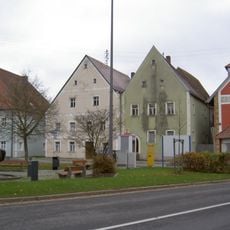
Wohnhaus
379 m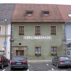
Wohnhaus
383 m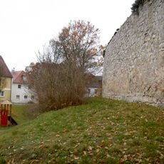
City walls of Vilseck
471 m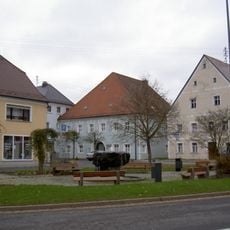
Wohnhaus
368 m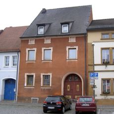
Ehemaliges Ackerbürgerhaus
382 m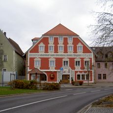
Gasthof
394 m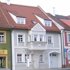
Wohnhaus, sogenanntes Wünnenberghaus
335 m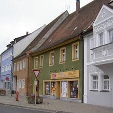
Ehemaliges Ackerbürgerhaus
335 m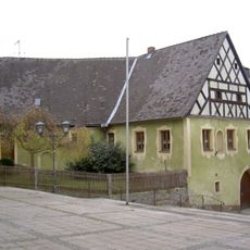
Frühmesshaus
468 m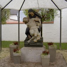
Pietà
478 m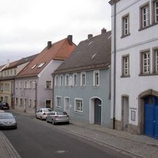
Gasthaus
433 m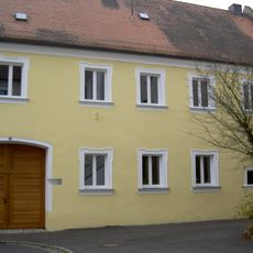
Ackerbürgerhaus
288 m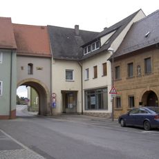
Ehemaliges Ackerbürgerhaus
357 m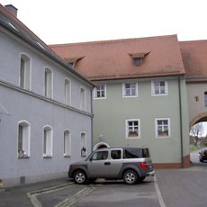
Vorstadttor, sogenanntes Hafnertor
377 m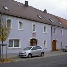
Ehemaliges Ackerbürgerhaus
458 mReviews
Visited this place? Tap the stars to rate it and share your experience / photos with the community! Try now! You can cancel it anytime.
Discover hidden gems everywhere you go!
From secret cafés to breathtaking viewpoints, skip the crowded tourist spots and find places that match your style. Our app makes it easy with voice search, smart filtering, route optimization, and insider tips from travelers worldwide. Download now for the complete mobile experience.

A unique approach to discovering new places❞
— Le Figaro
All the places worth exploring❞
— France Info
A tailor-made excursion in just a few clicks❞
— 20 Minutes