
Stadelreihe, sechs eingeschossige Satteldachbauten in geschlossener Reihe, der nordöstliche mit halb abgewalmtem Dach, bezeichnet mit „1826“, teilweise älter, die beiden südwestlichen Stadel nach 1835
Location: Vilseck
Address: Schlichter Straße 6
GPS coordinates: 49.61009,11.80369
Latest update: April 2, 2025 05:59
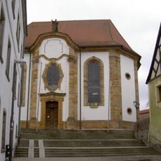
St. Ägidius
283 m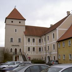
Vilstor
361 m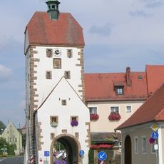
Vogelturm
225 m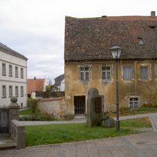
Pfarrhaus
316 m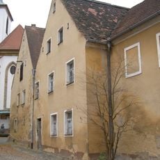
Ehemaliges Kaplanhaus
330 m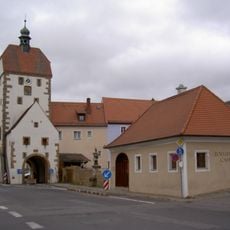
Zollhaus (Vilseck)
196 m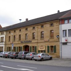
Wohnhaus
280 m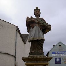
Nepomuk
204 m
Hofanlage, sogenannter Hammerhof
382 m
Ehemaliges Gasthaus
254 m
Vilseck Kirchgasse 2
242 m
Vilseck Herrengasse 7
344 m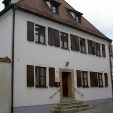
Vilseck Klostergasse 9
346 m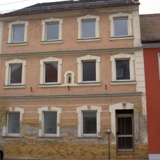
Wohnhaus
344 m
Wohnhaus
387 m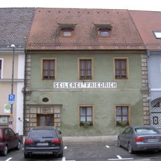
Wohnhaus
163 m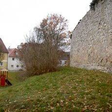
City walls of Vilseck
286 m
Wohnhaus
383 m
Ackerbürgerhaus
346 m
Ehemaliges Ackerbürgerhaus
314 m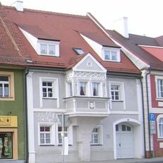
Wohnhaus, sogenanntes Wünnenberghaus
297 m
Ehemaliges Ackerbürgerhaus
285 m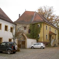
Vilseck Klostergasse 11
321 m
Ehemaliges Ackerbürgerhaus
368 m
Frühmesshaus
256 m
Ehemaliges Ackerbürgerhaus
122 m
Vorstadttor, sogenanntes Hafnertor
111 m
Ackerbürgerhaus
359 mReviews
Visited this place? Tap the stars to rate it and share your experience / photos with the community! Try now! You can cancel it anytime.
Discover hidden gems everywhere you go!
From secret cafés to breathtaking viewpoints, skip the crowded tourist spots and find places that match your style. Our app makes it easy with voice search, smart filtering, route optimization, and insider tips from travelers worldwide. Download now for the complete mobile experience.

A unique approach to discovering new places❞
— Le Figaro
All the places worth exploring❞
— France Info
A tailor-made excursion in just a few clicks❞
— 20 Minutes