
Stadel, stattlicher zweigeschossiger und traufständiger Durchfahrtsstadel mit zwei Toren, Kniestock und Kalkplattendach, Anfang 19.Jahrhundert
Location: Dietfurt an der Altmühl
Address: Industriestraße 2
GPS coordinates: 49.03347,11.59205
Latest update: March 3, 2025 10:46

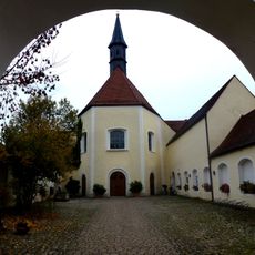
Franciscan Monastery Dietfurt
416 m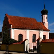
St. Sebaldus
36 m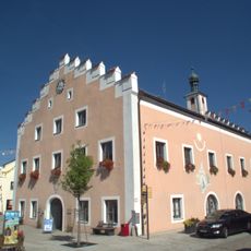
Rathaus Dietfurt an der Altmühl
349 m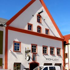
Hauptstrasse 22 in Dietfurt
349 m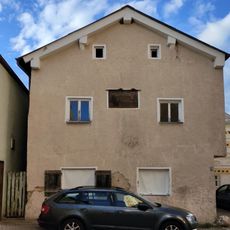
Klostergasse 3 (Dietfurt an der Altmühl)
403 m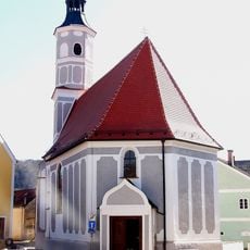
Zu Unserer Lieben Frau (Dietfurt)
139 m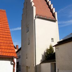
Vogelfängerturm
276 m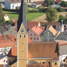
Katholische Pfarrkirche St. Ägidius
376 m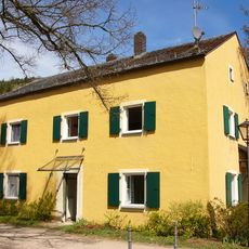
Ehemals zum Kloster gehöriges Wirtschaftsgebäude, heute Wohnhaus
455 m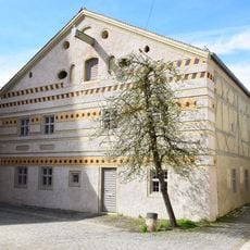
Ackerbürgerhaus
410 m
Bürgerhaus
408 m
Bürgerhaus
326 m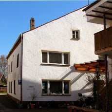
Rengnathmühle, Kunstmühle und Mühlenmuseum
96 m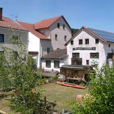
Altmühltaler Mühlenmuseum
91 m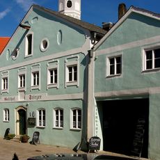
Gasthof Stirzer
120 m
Bürgerhaus
349 m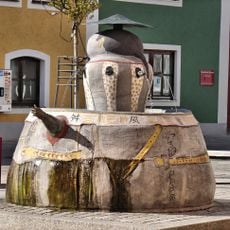
Chinese fountain
379 m
Modlturm
247 m
Bürgerhaus
295 m
Bürgerhaus
313 m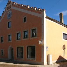
Wohnhaus
245 m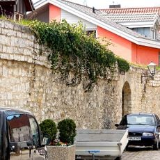
Restabschnitte der ehemaligen Stadtmauer
435 m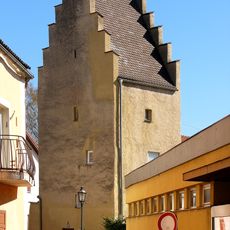
Zinkturm
231 m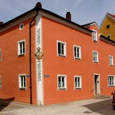
Wohn- und Geschäftshaus
391 m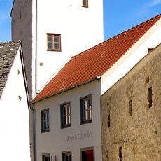
Hollerturm
348 m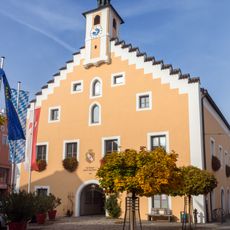
Cultural heritage D-3-6935-0115 in Dietfurt an der Altmühl
346 m
Ehemalige Stadtbefestigung
422 m
Bürgerhaus
352 mReviews
Visited this place? Tap the stars to rate it and share your experience / photos with the community! Try now! You can cancel it anytime.
Discover hidden gems everywhere you go!
From secret cafés to breathtaking viewpoints, skip the crowded tourist spots and find places that match your style. Our app makes it easy with voice search, smart filtering, route optimization, and insider tips from travelers worldwide. Download now for the complete mobile experience.

A unique approach to discovering new places❞
— Le Figaro
All the places worth exploring❞
— France Info
A tailor-made excursion in just a few clicks❞
— 20 Minutes